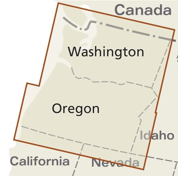
Carte de randonnée n° 822 - Mount St. Helens, Mount Adams (Washington) | National Geographic
Carte de randonnée n° 822 - Mount St. Helens, Mount Adams (Washington) | National Geographic
Prix régulier
15,90 €
- Expédition sous 24 h ouvrées depuis notre entrepôt en France
- Frais de livraison calculés instantanément dans le panier
- Retours gratuits (*)
- Stocks en temps réel
Zones géographiques et catégories liées : Nord-Ouest américain, Washington