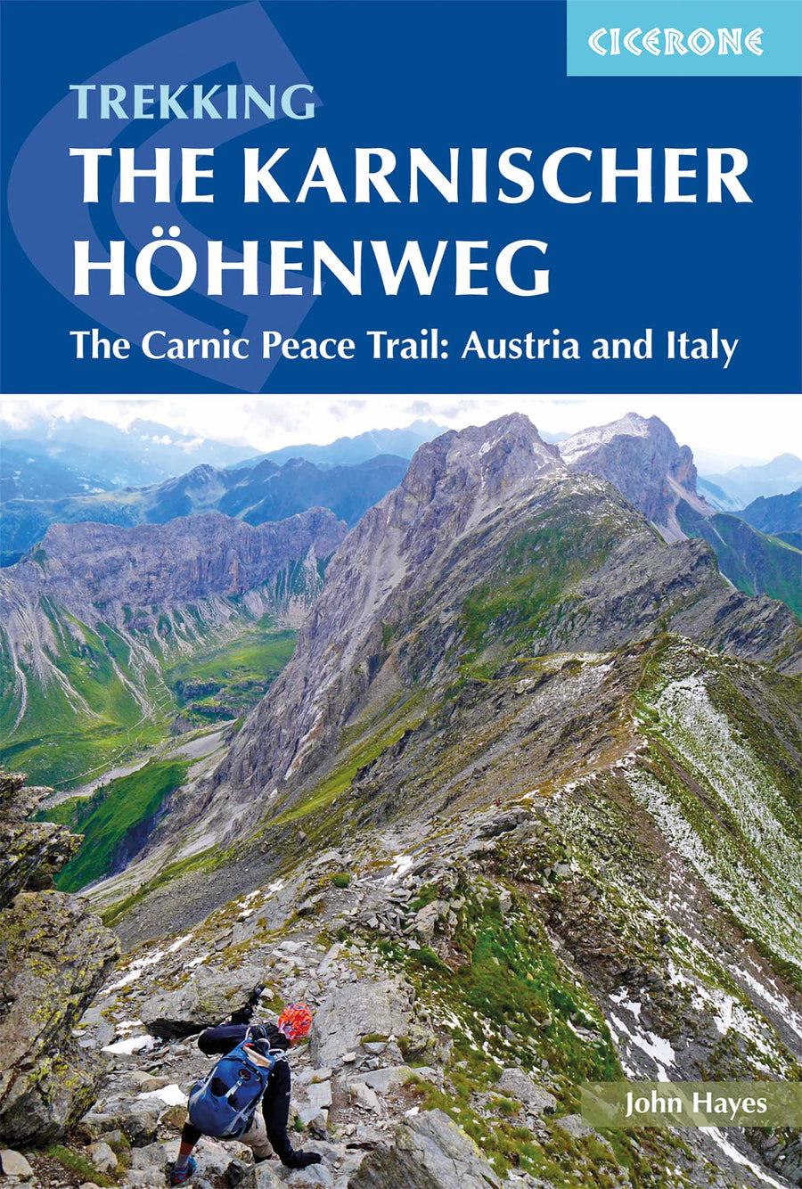
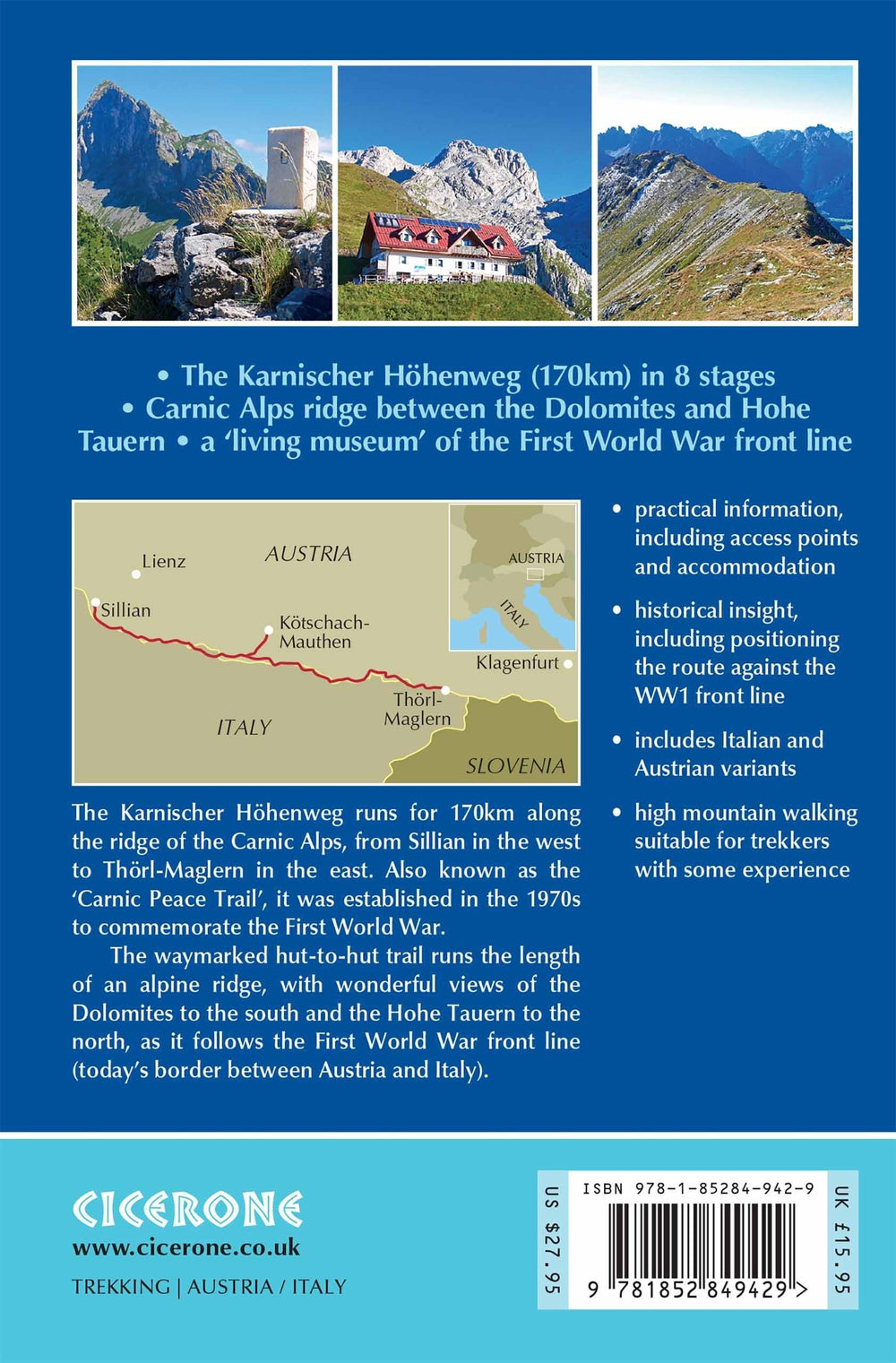
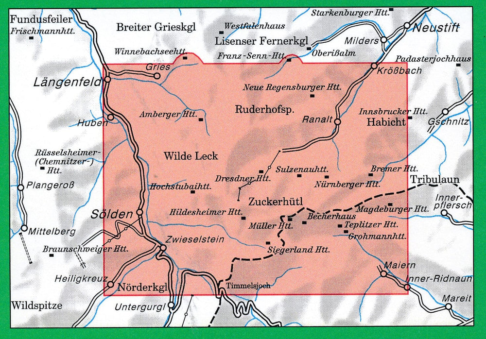
Guide de randonnées (en anglais) - The Karnischer Hohenweg | Cicerone
Prix régulier
20,90 €
Prix régulier
Prix réduit
20,90 €
Écomisez -20,90 €
/
- Expédition sous 24 h ouvrées depuis notre entrepôt en France
- Frais de livraison calculés instantanément dans le panier
- Retours gratuits (*)
- Stocks en temps réel
Zones géographiques et catégories liées : Alpes autrichiennes, Alpes carniques, Alpes italiennes & Dolomites, Alpes italiennes & Dolomites - Guides de randonnée, Voyage - Tous les guides touristiques et guides pratiques