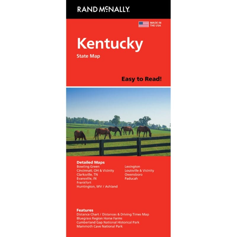
Kentucky, carte facile à lire | Rand McNally carte pliée Rand McNally

Kentucky, carte facile à lire | Rand McNally

Prix
Prix régulier 9,43 €
Prix régulier Prix réduit 9,43 €
Écomisez -9,43 €
/
  • Expédition sous 48h ouvrées depuis notre entrepôt aux USA. Pour ce produit, des frais de douanes peuvent être demandés par le transporteur à la livraison.
  • Frais de livraison calculés instantanément dans le panier
  • Retours gratuits (*)
  • Stocks en temps réel
  • En stock
  • En rupture de stock, expédition prochainement
Taxes incluses.

Souvent achetés ensemble :

La carte comprend Ashland, Bowling Green, Covington/Cincinnati, OH, le parc national de Cumberland Gap, Evansville, IN, Lexington/Frankfort et la région de Bluegrass, Louisville, le parc national de Mammoth Cave, Owensboro, Paducah.


ISBN/EAN : 9780528028618
Date de publication : 2018
Dimensions plié(e) : 9.45 pouces x 4.33 pouces (24 x 10 cm)
Dimensions déplié(e) : 40.16 pouces x 27.95 pouces (102 x 70 cm)
Langue(s) : anglais
Poids : 2.0 oz

Customer Reviews

Be the first to write a review
0%
(0)
0%
(0)
0%
(0)
0%
(0)
0%
(0)
Plus de Cincinnati
Carte routière - Kentucky | National Geographic carte pliée National Geographic
Carte routière - Kentucky | National Geographic
National Geographic
10,90 €
Columbus : Cincinnati : regional map | Rand McNally carte pliée
Columbus : Cincinnati : carte régionale | Rand McNally
Rand McNally
6,60 €
Kentucky, carte facile à lire | Rand McNally carte pliée Rand McNally
Kentucky, carte facile à lire | Rand McNally
Rand McNally
9,43 €