Guide de randonnées (en anglais) - Haute-route pyrénéenne | Cicerone

Guide de randonnées (en anglais) - Haute-route pyrénéenne | Cicerone guide de randonnée Cicerone

Guide de randonnées (en anglais) - Haute-route pyrénéenne | Cicerone

Prix régulier 22,90 €
/
  • Expédition sous 24 h ouvrées depuis notre entrepôt en France
  • Frais de livraison calculés instantanément dans le panier
  • Retours gratuits (*)
  • Stocks en temps réel
  • En stock
  • Inventaire sur le chemin
Taxes incluses.

Souvent achetés ensemble :

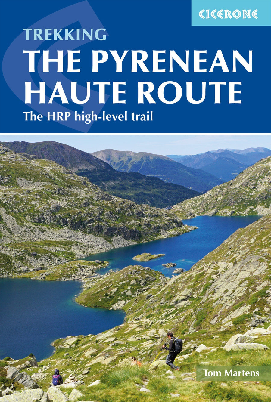
Topoguide (en anglais) de l'éditeur Cicerone pour découvrir cet itinéraire de haute montagne (HRP) traversant les Pyrénées de l'Atlantique à la Méditerranée.

Description fournie par l'éditeur :

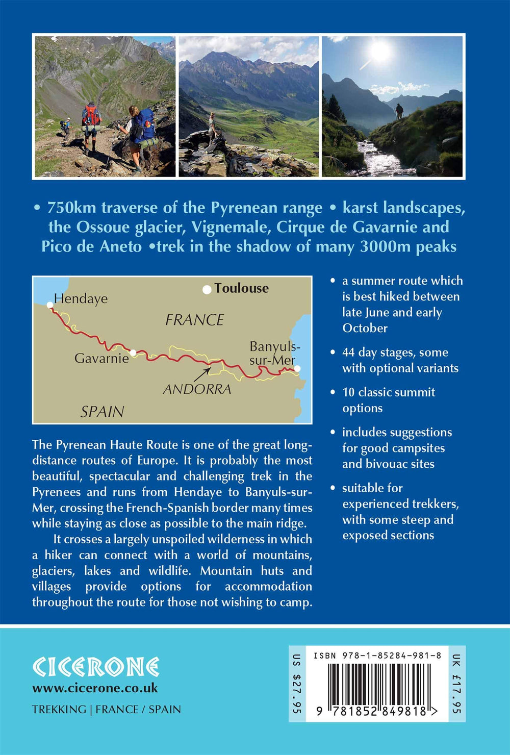
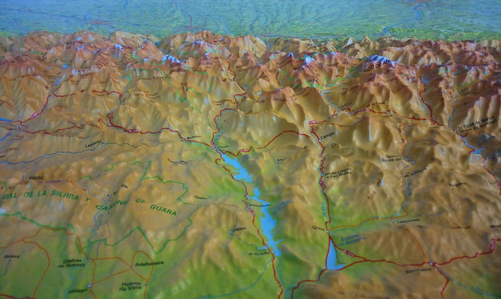
There are three main trekking routes across the Pyrenees from coast to coast: of these, the Pyrenean Haute Route (or HRP for Haute Route Pyreneenne) is the most challenging - and arguably, the most spectacular. Unlike the GR10 and GR11, it is not waymarked and borders on mountaineering at times, sticking as closely as possible to the main ridge. It stretches 750km from the Atlantic resort of Hendaye to Banyuls-sur-Mer on the Mediterranean, crossing the French-Spanish border many times on its traverse.

 This guide presents the Pyrenean Haute Route in 44 day stages, which are divided between five sections: since each section starts and finishes at a location accessible by public transport, they can be walked individually if you don't have a spare month-and-a-half for a complete thru-hike. Although the route offers excellent opportunities for wild camping, each stage finishes at a mountain hut or village, meaning that you can sleep under a roof every night if you prefer.

Clear route description is accompanied by 1:100,000 mapping. There are bad weather variants and alternatives to avoid the most technical sections, and the guide also includes optional ascents of 10 classic summits, including Vignemale, Pic du Taillon and the highest peak in the Pyrenees, Pico de Aneto.

You'll also find helpful advice on travel to and from the route, equipment and safety. From the rolling green foothills of the Basque Country to High Pyrenean landscapes of aquamarine lakes nestled among 3000m peaks, the scenery is as varied as it is beautiful. Highlights include the karst terrain of Pic d'Anie, the Ossoue glacier, Lac de Mar in the picturesque Val d'Aran and the dramatic Cirque de Gavarnie with its towering cascade.


ISBN/EAN : 9781852849818
Date de publication : 2019
Pagination : 344 pages
Dimensions plié(e) : 12 x 17 cm
Langue(s) : anglais
Poids : 420 g

Customer Reviews

No reviews yet
0%
(0)
0%
(0)
0%
(0)
0%
(0)
0%
(0)
Plus de Gavarnie
Carte TOP 25 n° 1748 OTR (résistante) - Gavarnie & Luz St Sauveur (Pyrénées) | IGN carte pliée IGN
Carte TOP 25 n° 1748 OTR (résistante) - Gavarnie & Luz St Sauveur (Pyrénées) | IGN
IGN
17,20 €
Carte TOP 25 n° 1748 OT - Gavarnie & Luz St Sauveur (Pyrénées) IGN carte pliée IGN
Carte IGN TOP 25 n° 1748 OT - Gavarnie & Luz St Sauveur (Pyrénées) - La Compagnie des Cartes
Carte TOP 25 n° 1748 OT - Gavarnie & Luz St Sauveur (Pyrénées) IGN
IGN
13,90 €
Carte IGN TOP 75 n° 19 - Gavarnie, Luchon, Néouvielle & Pic de Midi de Bigorre (Pyrénées) carte pliée IGN
Carte TOP 75 n° 19 - Gavarnie, Luchon, Néouvielle & Pic de Midi de Bigorre (Pyrénées) | IGN
IGN
9,80 €
Carte de randonnée n° 12 - Gavarnie & Ordesa (Pyrénées) | Rando Editions carte pliée Rando Editions
Carte de randonnée n° 12 - Gavarnie & Ordesa (Pyrénées) | Rando Editions
Rando Editions
14,45 €
Épuisé
Carte & guide de randonnées - Mont Perdu & Gavarnie | SUA Editions carte pliée Sua Editions
Carte & guide de randonnées - Mont Perdu & Gavarnie | SUA Editions
Sua Editions
8,50 €
Vu récemment