Guide de randonnées (en anglais) - Mountains of Nerja : Sierras Tejeda, Almijara & Alhama | Cicerone
Prix régulier
22,90 €
Prix régulier
Prix réduit
22,90 €
Écomisez -22,90 €
/
- Expédition sous 24 h ouvrées depuis notre entrepôt en France
- Frais de livraison calculés instantanément dans le panier
- Retours gratuits (*)
- Stocks en temps réel
- En stock
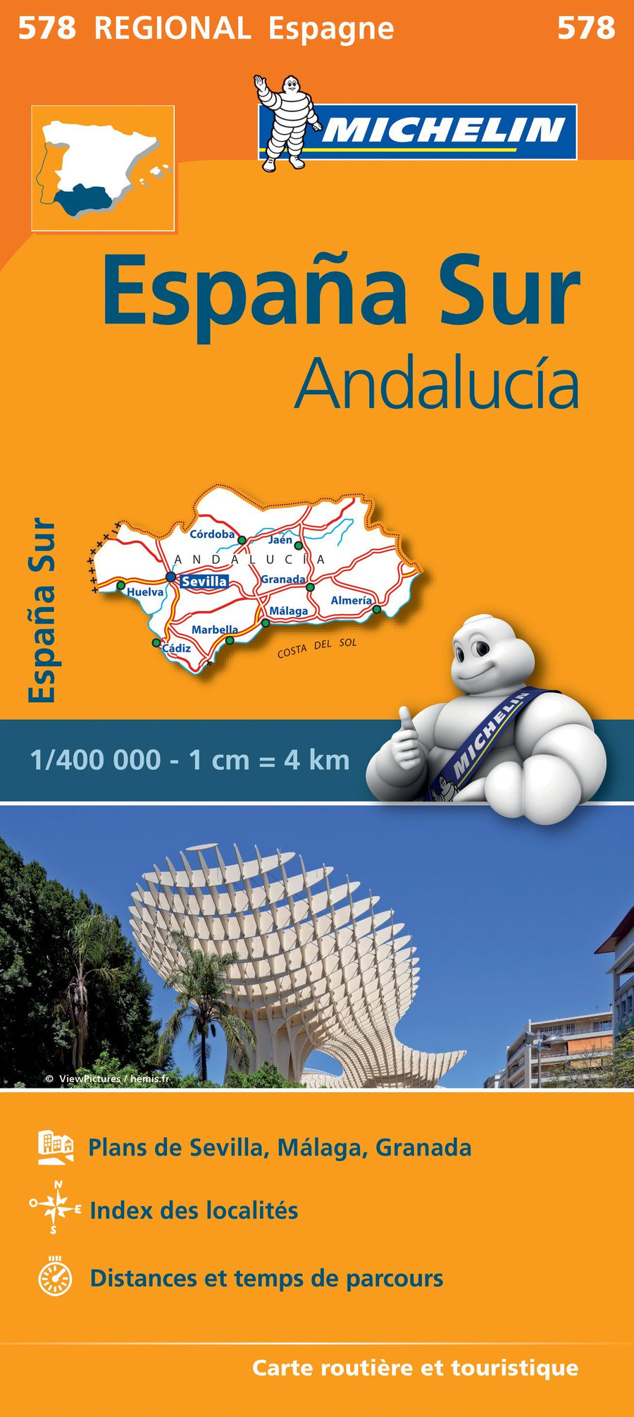
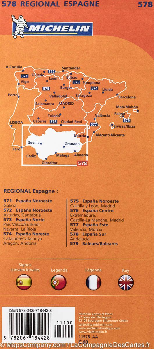
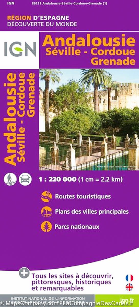
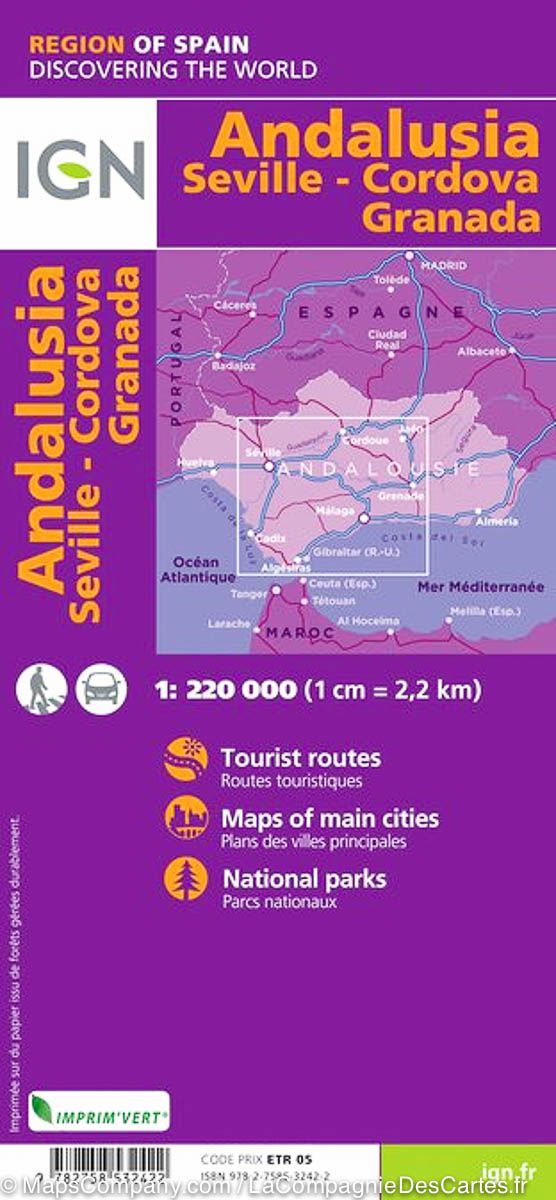
Zones géographiques et catégories liées : Andalousie, Costa del Sol, Voyage - Tous les guides touristiques et guides pratiques