Indianapolis, Indiana and Vicinity Regional | Rand McNally

Indianapolis, Indiana and Vicinity Regional by Rand McNally

Indianapolis, Indiana and Vicinity Regional | Rand McNally

Prix régulier 8,45 €
/
  • Expédié sous 48h ouvrées depuis notre entrepôt aux USA. Pour ce produit, des frais de douanes peuvent être demandés par le transporteur à la livraison.
  • Frais de livraison calculés instantanément dans le panier
  • Retours gratuits (*)
  • Stocks en temps réel
  • En stock
  • Inventaire sur le chemin
Taxes incluses.

Souvent achetés ensemble :

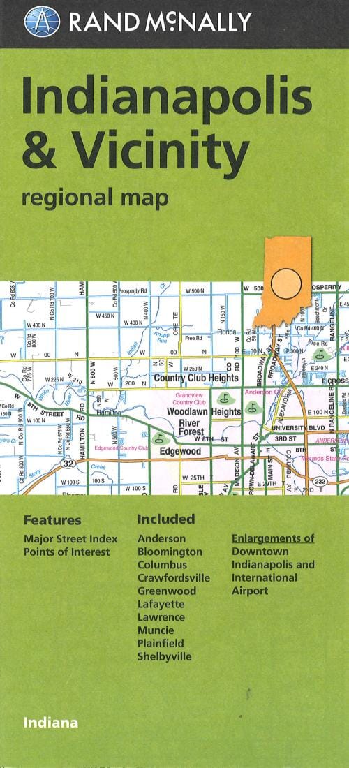
La carte comprend Anderson, Bloomington, Columbus, Crawfordsville, Greenwood, Lafayette, Lawrence, Muncie, Plainfield, Shelbyville, le centre-ville d'Indianapolis et l'aéroport international.


ISBN/EAN : 9780528007774
Date de publication : 2013
Dimensions plié(e) : 9.06 pouces x 4.33 pouces (23 x 11 cm)
Dimensions déplié(e) : 38.58 pouces x 26.77 pouces (98 x 68 cm)
Langue(s) : anglais
Poids : 70 g

Customer Reviews

Be the first to write a review
0%
(0)
0%
(0)
0%
(0)
0%
(0)
0%
(0)
Plus de Indiana
Carte routière n° 584 - sud-est des USA | Michelin carte pliée Michelin
Carte routière n° 584 - Etats-Unis Sud-Est | Michelin
Michelin
8,95 €
Carte routière USA n° 3 - Midwest | Reise Know How carte pliée Reise Know-How 2019
Carte routière USA n° 3 - Midwest | Reise Know How carte pliée Reise Know-How
Carte routière USA n° 3 - Midwest | Reise Know How
Reise Know-How
12,00 €
Evansville - Indiana and Owensboro and Henderson - Kentucky | GM Johnson Road Map
Evansville - Indiana et Owensboro et Henderson - Kentucky | GM Johnson
GM Johnson
7,15 €
Épuisé
Guide de voyage - Chicago & Grands lacs 2020/21 | Petit Futé guide de voyage Petit Futé
Guide de voyage - Chicago & Grands lacs 2020/21 | Petit Futé
Petit Futé
14,95 €
Indiana, Easy to Fold State Map | Rand McNally carte pliée
Indiana, carte d'état facile à plier | Rand McNally
Rand McNally
12,05 €
Vu récemment