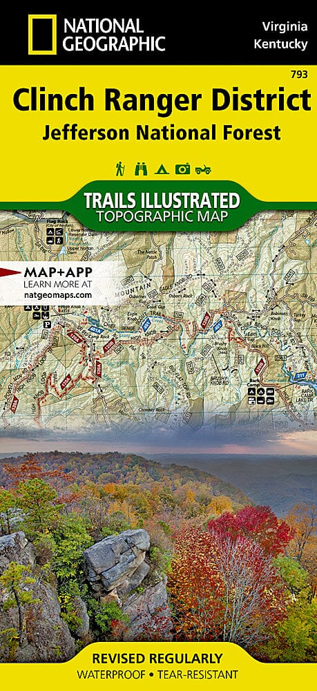
Trails Map of Clinch Ranger District, Jefferson National Forest (Virginia, Kentucky), # 793 | National Geographic carte pliée National Geographic

Carte de randonnée n° 793 - Clinch Ranger District, Jefferson National Forest (Virginia, Kentucky) | National Geographic

Prix
Prix régulier 14,23 €
Prix régulier Prix réduit 14,23 €
Écomisez -14,23 €
/
  • Expédition sous 48h ouvrées depuis notre entrepôt aux USA. Pour ce produit, des frais de douanes peuvent être demandés par le transporteur à la livraison.
  • Frais de livraison calculés instantanément dans le panier
  • Retours gratuits (*)
  • Stocks en temps réel
  • En stock
  • En rupture de stock, expédition prochainement
Taxes incluses.

Souvent achetés ensemble :

La couverture comprend la forêt nationale de Jefferson et les villes de Cumberland, Big Stone Gap, Elkhorn City. Points d'accès pour la navigation de plaisance : Bark Camp, Lake Keokee, North Fork of Pound Lake, John W. Flannagan Reservoir. Autres points forts : Breaks Interstate park, Kingdom Come State Park, Natural Tunnel State Park. Comprend des marques de repérage UTM à utiliser avec votre appareil GPS et une matrice de kilométrage des sentiers.


ISBN/EAN : 9781566951500
Date de publication : 2020
Dimensions plié(e) : 9.45 pouces x 4.33 pouces (24 x 11 cm)
Dimensions déplié(e) : 25.2 pouces x 37.2 pouces (64 x 94.5 cm)
Langue(s) : anglais
Poids : 60 g

Customer Reviews

Be the first to write a review
0%
(0)
0%
(0)
0%
(0)
0%
(0)
0%
(0)
Plus de Kentucky
Plan des rues - Pensacola | GM Johnson carte pliée GM Johnson
Plan des rues - Pensacola | GM Johnson
GM Johnson
7,57 €
Louisville, Kentucky et New Albany, Indiana | GM Johnson carte pliée GM Johnson
Louisville, Kentucky et New Albany, Indiana | GM Johnson
GM Johnson
6,62 €
Kentucky, carte facile à lire | Rand McNally carte pliée Rand McNally
Kentucky, carte facile à lire | Rand McNally
Rand McNally
9,51 €