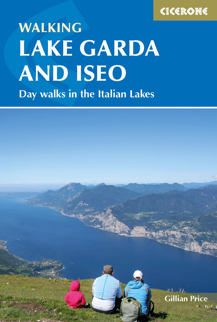
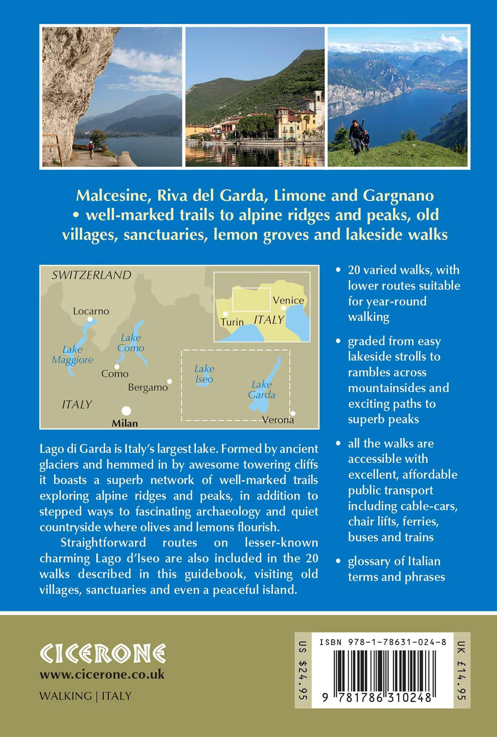
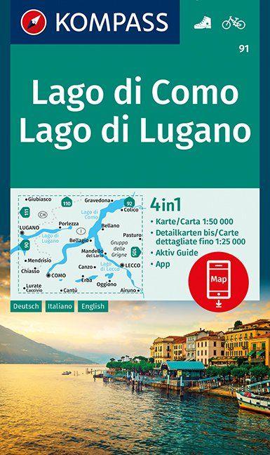
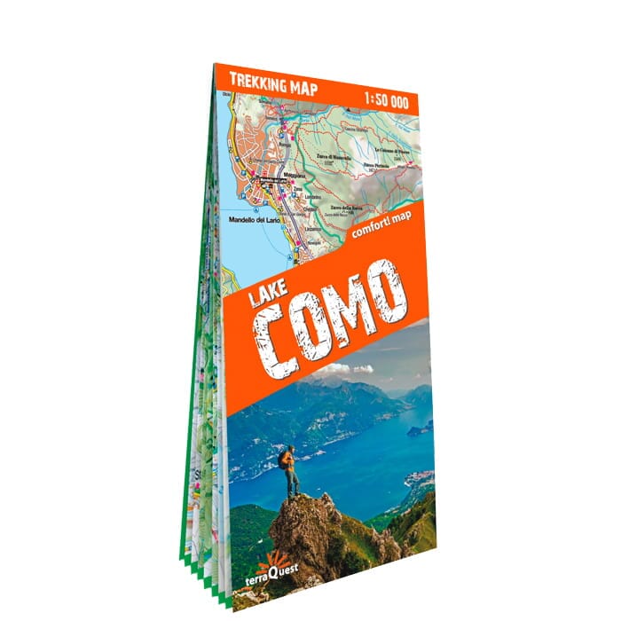
Topoguide (en anglais) de l'éditeur Cicerone pour découvrir les différents lacs italiens.
Description fournie par l'éditeur :
A walking guidebook containing 50 day walks around the Italian lakes of Maggiore, Como, Iseo and Garda. The guide includes detailed descriptions and maps for walks that range from easy, leisurely strolls, to more strenuous routes up panoramic peaks. The routes range between 2 to 13 miles in length and offer varying terrain to suit all walkers.
Seasons : Spring, early summer and autumn are the ideal seasons, as the majority of the walks are low to medium altitude. However, midsummer is perfect for the higher alpine-type routes.
Centres : On Lago Maggiore: Stresa and Cannobio; on Lago di Como: Menaggio, Bellagio and Como; on Lago d'Iseo: Iseo; on Lago di Garda: Malcesine, Torri del Benaco, Riva and Limone.
Difficulty : The 50 walks are graded from easy strolls along lakesides and in woodland, through to moderate and fairly strenuous treks on alpine terrain. All can be fitted into a single, leisurely day. No special equipment is required.
Must See : Marvellous historic paved pathways such as Strada Regia on Lago di Como and the Strada Borromeo on Lago Maggiore. Memorable trips on ferries and rides on cable-cars (Mottarone on Lago Maggiore, Monte Baldo on Lago di Garda), gorgeous alpine and Mediterranean wildflowers. Breathtaking panoramic mountains: Monte Baldo (Lago di Garda), Mottarone (Lago Maggiore) and Monte San Primo (Lago di Como) stand out.
ISBN/EAN : 9781786310248
Date de publication : 2019
Dimensions plié(e) : 12 x 17 cm
Langue(s) : anglais
Poids :
300 g


