Description fournie par l'éditeur :
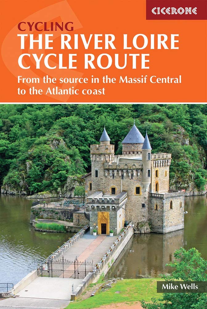
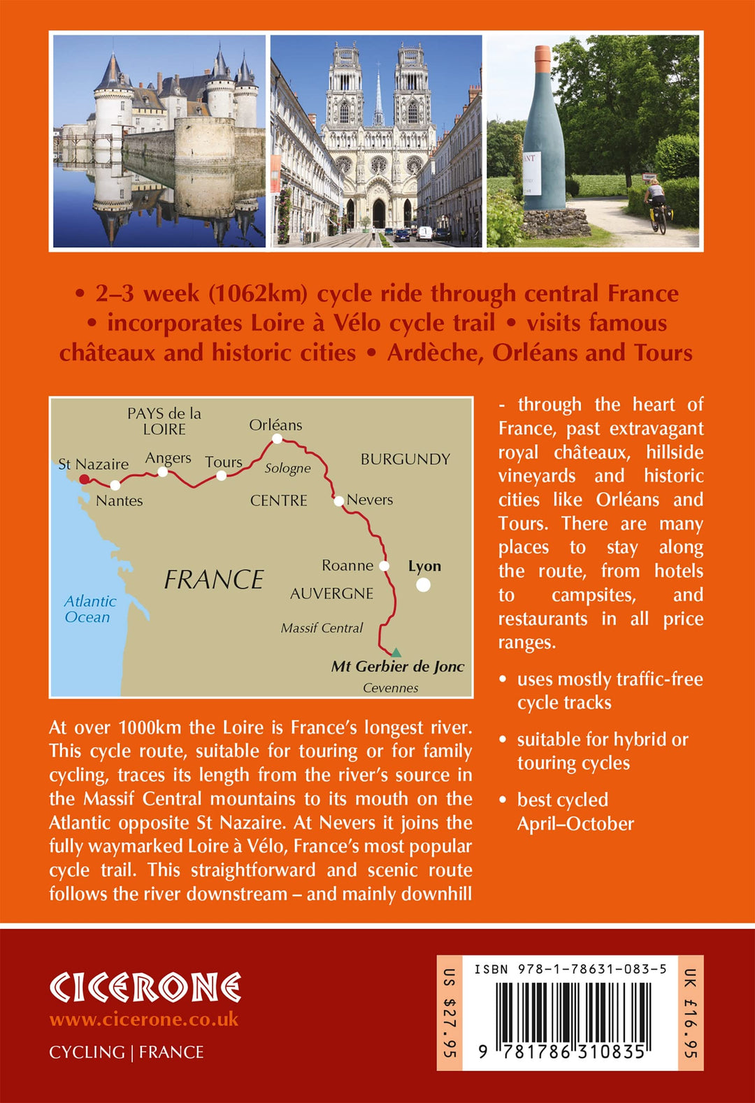
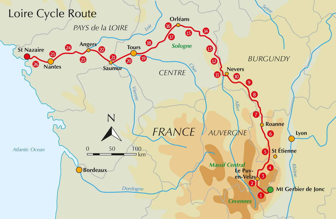
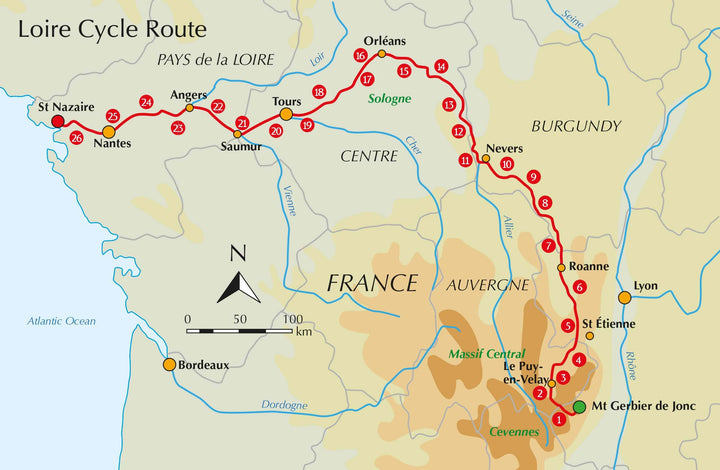
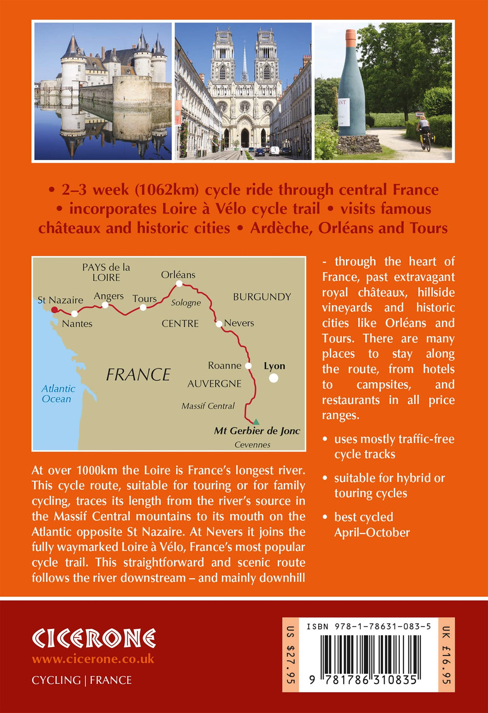
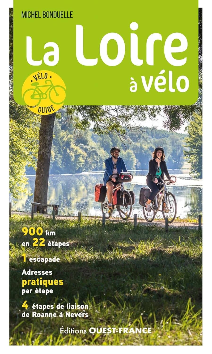
Guidebook to cycling the Loire, France's longest river, from its source in the Massif Central to the Atlantic. The 1052 km (654 mile) route incorporates a section of EuroVélo 6 and the popular, waymarked Loire à Vélo, taking in extinct volcanos, vineyards and châteaux. Cycling is mostly on cycle paths and minor roads.
Seasons : The whole route can be cycled when the mountains near the source are snow free, usually April-October. Stages 7 to 26 can be cycled at any time of year, though April-October is the best period.
Centres : A point-to-point route with no particular bases.
Difficulty : Apart from a steep 1000m climb to reach the start and a few ascents and descents in the first six stages this is a straightforward route that is generally downhill or level. Mostly asphalt surfaces in good condition suitable for hybrid or touring cycles. Much of the route follows dedicated off-road cycle tracks, suitable for family cycling, though there are a few short sections where main roads are used.
Must See : Mont Gerbier de Jonc and the volcanic hills of the Ardèche, Le Puy-en-Velay, Charollais hills. After Nevers the route follows La Loire à Vélo, France's most popular cycleway, passing many of the royal châteaux (Chambord, Blois, Chaumont, Villandry, Amboise), vineyards (Sancerre, Touraine, Chinon, Saumur, Anjou, Muscadet), and historic cities (Orléans, Tours, Angers, Nantes) of the Loire Valley.
ISBN/EAN : 9781786310835
Date de publication : 2022
Dimensions plié(e) : 12 x 17 cm
Langue(s) : anglais
Poids :
281 g


