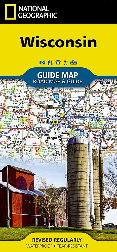
Carte routière - Wisconsin | National Geographic

Prix
Prix régulier 10,90 €
Prix régulier Prix réduit 10,90 €
Écomisez -10,90 €
/
  • Expédition sous 24 h ouvrées depuis notre entrepôt en France
  • Frais de livraison calculés instantanément dans le panier
  • Retours gratuits (*)
  • Stocks en temps réel
  • En stock
  • En rupture de stock, expédition prochainement
Taxes incluses.

Souvent achetés ensemble :

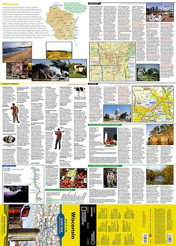
Carte du Wisconsin (USA) éditée par National Geographic. La carte couvre la totalité de cet état des Etats Unis. Le recto est une carte routière avec des encarts de Superior, Appleton, Oshkosh, Racine / Kenosha, Eau Claire, Green Bay et Milwaukee. Le verso comprend: - Cartes et informations pour Milwaukee et Madison - Informations pour Apostle Islands National Lakeshore - St. Croix Scenic Riverway - Points d'interêts - Route panoramique.
Cette carte est imperméable et résistante au déchirement.
Echelle 1 : 1,267,000 (1 cm = 12,67 km).


ISBN/EAN : 9781566957328
Date de publication : 2023
Echelle : 1 / 1 267 000 (1 cm = 12,67 km)
Impression : recto-verso
Dimensions plié(e) : 22,2 x 10,8 cm
Dimensions déplié(e) : 63 x 46 cm
Langue(s) : anglais
Poids : 89 g

Customer Reviews

No reviews yet
0%
(0)
0%
(0)
0%
(0)
0%
(0)
0%
(0)
Plus de Milwaukee
Carte routière - Wisconsin | National Geographic carte pliée National Geographic
Carte routière - Wisconsin | National Geographic
National Geographic
10,90 €
Wisconsin, carte facile à lire | Rand McNally carte pliée Rand McNally
Wisconsin, carte facile à lire | Rand McNally
Rand McNally
9,51 €