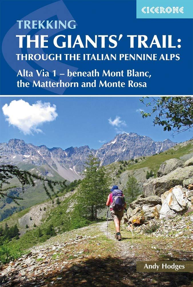
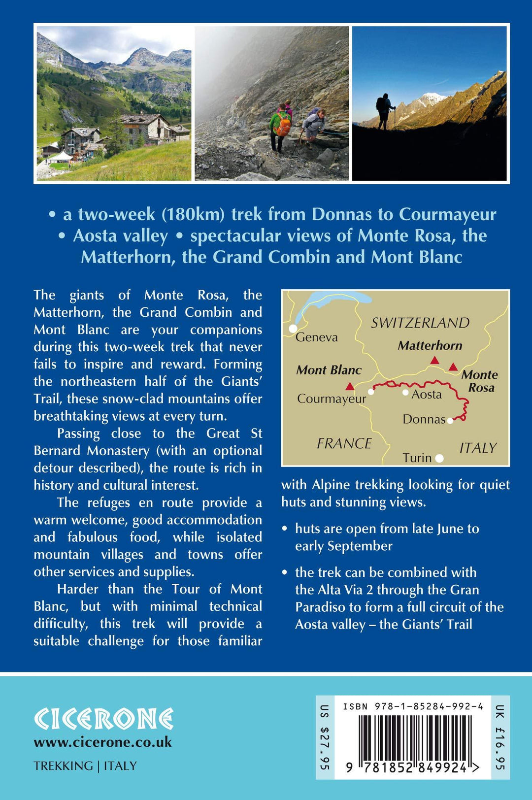


Guide de randonnées (en anglais) - Trekking the Giants' Trail: Through the Italian Pennine Alps - Alta Via 1 | Cicerone
Prix régulier
21,90 €
Prix régulier
Prix réduit
21,90 €
Écomisez -21,90 €
/
- Expédition sous 24 h ouvrées depuis notre entrepôt en France
- Frais de livraison calculés instantanément dans le panier
- Retours gratuits (*)
- Stocks en temps réel
- En stock
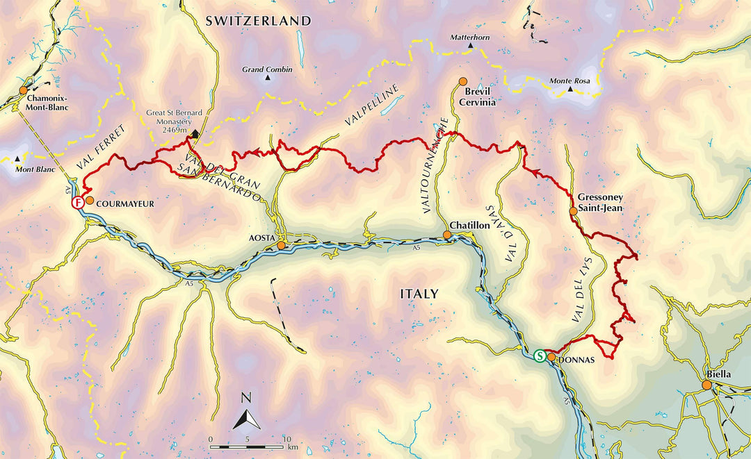
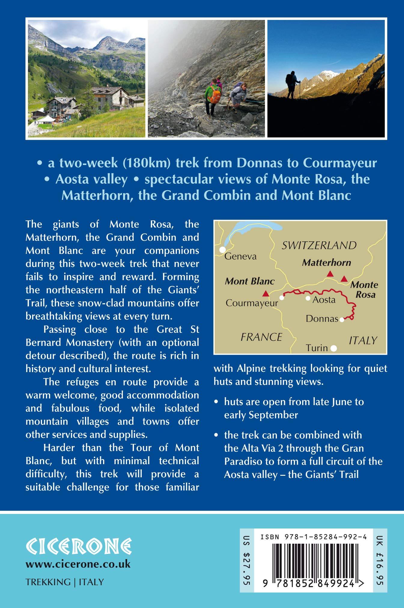
Zones géographiques et catégories liées : Alpes italiennes & Dolomites, Alpes italiennes & Dolomites - Guides de randonnée, Alta Via (Traversée des Dolomites), Alta Via 1 (Dolomites), Courmayeur, Grand-Saint-Bernard, Massif du Mont Blanc, Mont Cervin / Matterhorn, Mont Rose / Monte Rosa, Voyage - Tous les guides touristiques et guides pratiques