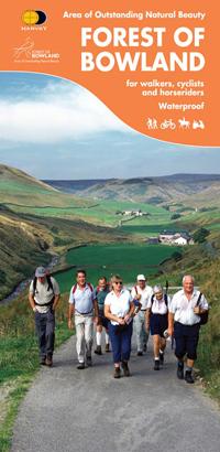
Carte de randonnée - Wales Coast Path 2 : Caernarfon to Cardigan Including Llyn Peninsula - XT40 | Harvey Maps - National Trail maps

Prix
Prix régulier 26,40 €
Prix régulier Prix réduit 26,40 €
Écomisez -26,40 €
/
  • Expédition sous 24 h ouvrées depuis notre entrepôt en France
  • Frais de livraison calculés instantanément dans le panier
  • Retours gratuits (*)
  • Stocks en temps réel
  • En stock
  • En rupture de stock, expédition prochainement
Taxes incluses.

Souvent achetés ensemble :

Carte de randonnée éditée par Harvey Maps idéale pour découvrir les sentiers nationaux de Grande Bretagne.

Description originale de l'éditeur :
The Wales Coast Path is a 1400km (870mile) long distance path along the entire coastline of Wales, from Chester in the north to Chepstow in the south. - The entire route on 4 maps - this is map 2 Map 2 shows Caernarfon to Cardigan, 371km (231miles) in length, includingthe Llyn Peninsula Area of Outstanding Natural Beauty - A good two weeks' walking on one map - Information on accomodation and services - Lightweight, detailed, clear and easy to read - Printed on tough 100% waterproof, tearproof paper - GPS compatibley marked


ISBN/EAN : 9781851376612
Date de publication : 2023
Echelle : 1 / 40 000 (1 cm = 400 m)
Impression : recto-verso
Dimensions plié(e) : 11,6 x 24,3 cm
Dimensions déplié(e) : 69,6 x 97,2 cm
Langue(s) : anglais
Poids : 70 g

Customer Reviews

Be the first to write a review
0%
(0)
0%
(0)
0%
(0)
0%
(0)
0%
(0)