
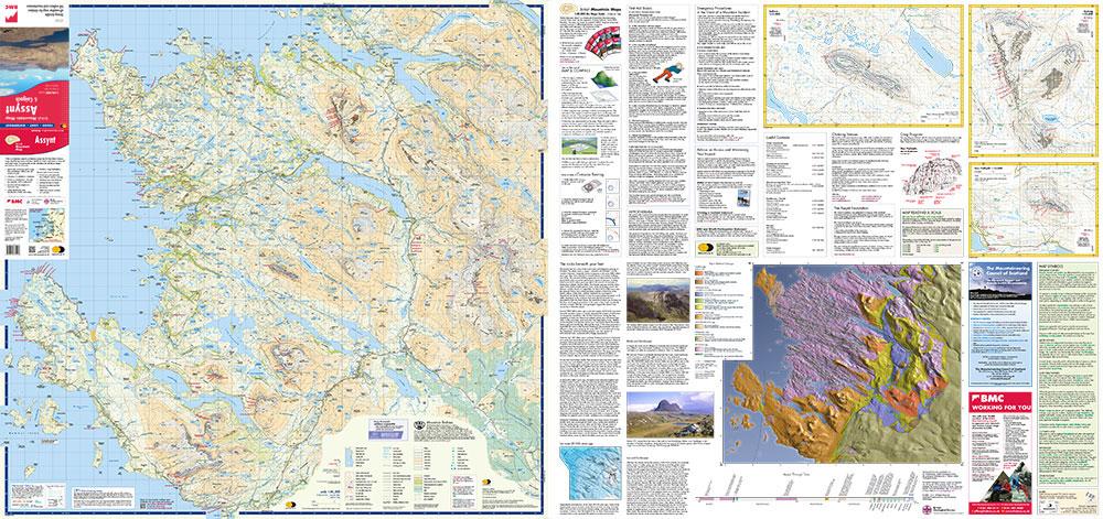
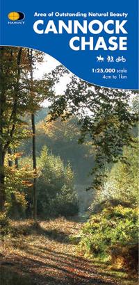
Carte de randonnée - Assynt XT40 BMM | Harvey Maps - British Mountain
No reviews
Livré chez vous sous 2 à 4 jours.
Expédié depuis notre entrepôt en France.
Carte spéciale randonnée dans les montagnes de Grande Bretagne éditée par Harvey Maps.
Description originale de l'éditeur :
Detailed map for hillwalkers and climbers of the spectacular peaks of Assynt.
Includes Quinag, Suilven, Stac Pollaidh, Cul Mor and Ben More Assynt.
Enlargements of Stac Pollaidh, Suilven and Quinag on the reverse.
Climbing crags are highlighted and a climbing route on Stac Pollaidh is included.
The map area includes 2 Munros, 9 Corbetts and 6 Grahams.
Tough, light, durable and 100% waterproof
Tried and tested by the British Mountaineering Council and the Mountaineering Council of Scotland
Date de publication : 2015
Echelle : 1/40 000 (1 cm = 400 m)
Impression: recto-verso
Dimensions plié(e) : 12,3 x 23,6 cm
Dimensions déplié(e) : 94,4 x 98,4 cm
Langue : anglais
Poids : 82 g
Description originale de l'éditeur :
Detailed map for hillwalkers and climbers of the spectacular peaks of Assynt.
Includes Quinag, Suilven, Stac Pollaidh, Cul Mor and Ben More Assynt.
Enlargements of Stac Pollaidh, Suilven and Quinag on the reverse.
Climbing crags are highlighted and a climbing route on Stac Pollaidh is included.
The map area includes 2 Munros, 9 Corbetts and 6 Grahams.
Tough, light, durable and 100% waterproof
Tried and tested by the British Mountaineering Council and the Mountaineering Council of Scotland
Zones géographiques et catégories liées : Ecosse , Grande Bretagne randonnée , Nouveautés , Randonner en Ecosse
ISBN / EAN : 9781851375448Date de publication : 2015
Echelle : 1/40 000 (1 cm = 400 m)
Impression: recto-verso
Dimensions plié(e) : 12,3 x 23,6 cm
Dimensions déplié(e) : 94,4 x 98,4 cm
Langue : anglais
Poids : 82 g