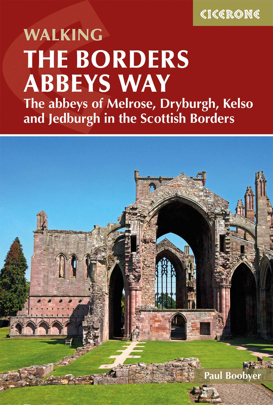
Guide de Randonnée - The Borders Abbeys Way, Ecosse (en anglais) | Cicerone

Prix
Prix régulier 15,25 €
Prix régulier Prix réduit 15,25 €
Écomisez -15,25 €
/
  • Expédition sous 24 h ouvrées depuis notre entrepôt en France
  • Frais de livraison calculés instantanément dans le panier
  • Retours gratuits (*)
  • Stocks en temps réel
  • En stock
  • En rupture de stock, expédition prochainement
Taxes incluses.

Souvent achetés ensemble :

Topoguide (en anglais) de l'éditeur Cicerone. 
Description fournie par l'éditeur :

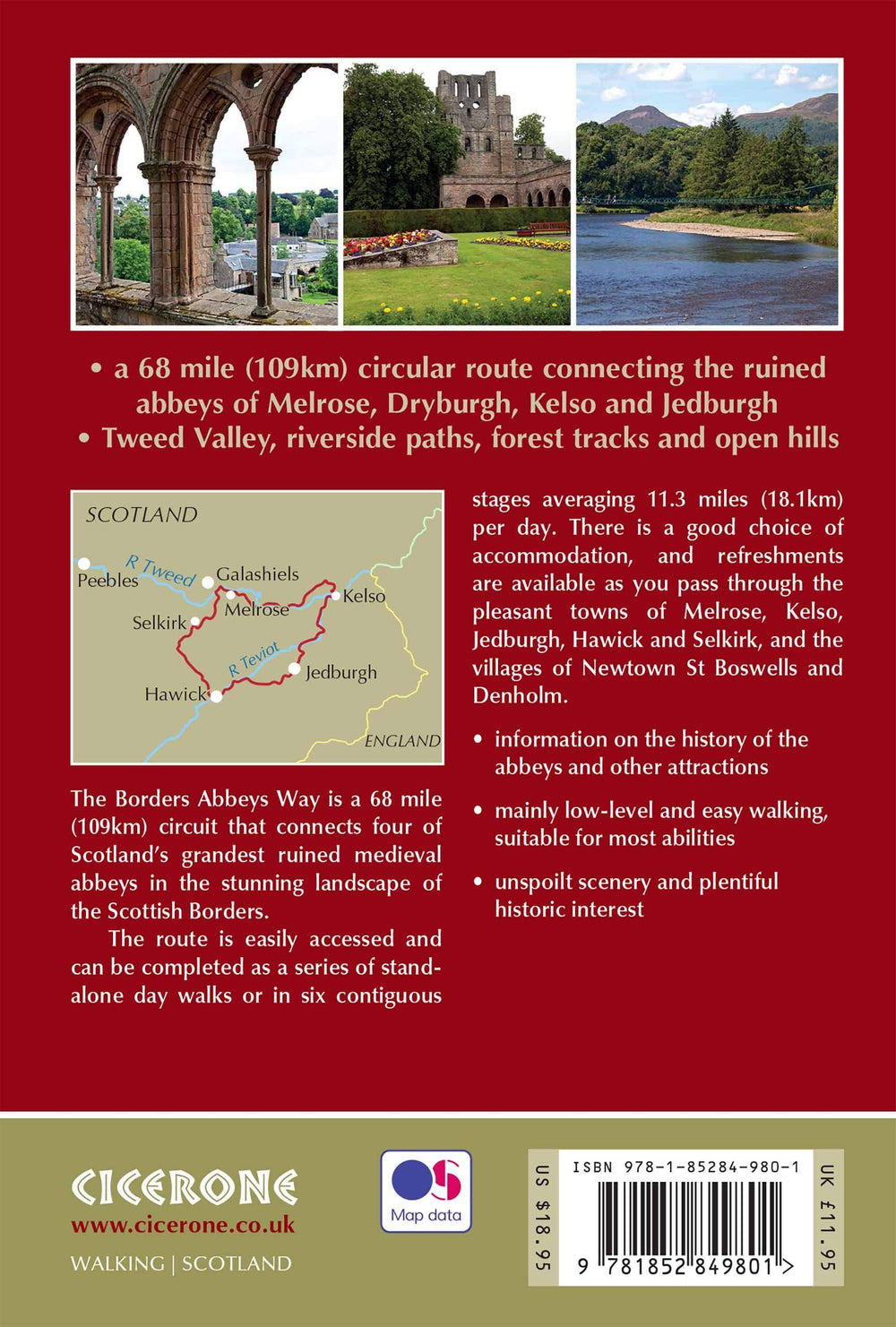
Guidebook to the Borders Abbeys Way, a 68 mile circuit in the beautiful Scottish Borders. Taking in four of Britain's grandest ruined medieval abbeys, the route which begins and ends in Tweedbank, is described over 6 stages, and is as rich in history as it is pastoral charm. Relatively flat, it is suitable for people with a moderate level of fitness, and can be undertaken at any time of year. In addition to clear route description and OS mapping extracts, the guidebook also includes information about the history of the Borders abbeys, the ever-intriguing Borders reivers, and the region's geology and agriculture. Invaluable practical information relating to accommodation, transport, mapping and public access is also included. As historically enchanting as it is visually delightful, the Borders Abbeys Way will connect walkers with a truly fascinating period of history. In fact, some of the paths on the Way are the very same routes that monks used to travel between the Borders abbeys, and no doubt were also used by the notorious reivers.


ISBN/EAN : 9781852849801
Date de publication : 2019
Pagination : 96 pages
Dimensions plié(e) : 17.2 x 11.6 cm
Langue(s) : anglais
Poids : 110 g

Customer Reviews

No reviews yet
0%
(0)
0%
(0)
0%
(0)
0%
(0)
0%
(0)
Carte de randonnée - West Highland Way XT40 | Harvey Maps - National Trail maps carte pliée Harvey Maps
Carte de randonnée - West Highland Way XT40 | Harvey Maps - National Trail maps
Harvey Maps
23,90 €
Carte de randonnée n° 392 - Ben Nevis, Fort William (Grande Bretagne) | Ordnance Survey - Explorer carte pliée Ordnance Survey
Carte de randonnée n° 392 - Ben Nevis, Fort William (Grande Bretagne) | Ordnance Survey - Explorer
Ordnance Survey
À partir de 18,45 €
Carte de randonnée n° 408 - Skye, Trotternish, The Storr (Grande Bretagne) | Ordnance Survey - Explorer carte pliée Ordnance Survey
Carte de randonnée n° 408 - Skye, Trotternish, The Storr (Grande Bretagne) | Ordnance Survey - Explorer
Ordnance Survey
À partir de 18,45 €
Carte topographique n° 023 - North Skye (Grande Bretagne) | Ordnance Survey - Landranger carte pliée Ordnance Survey
Carte topographique n° 023 - North Skye (Grande Bretagne) | Ordnance Survey - Landranger
Ordnance Survey
À partir de 18,45 €
Guide de randonnées (en anglais) - Isle of Skye walker's guide over 80 walks & scrambles | Cicerone guide de randonnée Cicerone
Guide de randonnées (en anglais) - Isle of Skye walker's guide over 80 walks & scrambles | Cicerone
Cicerone
21,90 €