Guide de randonnées (en anglais) - Valais (Suisse) | Cicerone

Guide de randonnées (en anglais) - Valais (Suisse) | Cicerone guide de randonnée Cicerone

Guide de randonnées (en anglais) - Valais (Suisse) | Cicerone

Prix régulier 22,90 €
/
  • Expédition sous 24 h ouvrées depuis notre entrepôt en France
  • Frais de livraison calculés instantanément dans le panier
  • Retours gratuits (*)
  • Stocks en temps réel
  • En stock
  • Inventaire sur le chemin
Taxes incluses.

Souvent achetés ensemble :

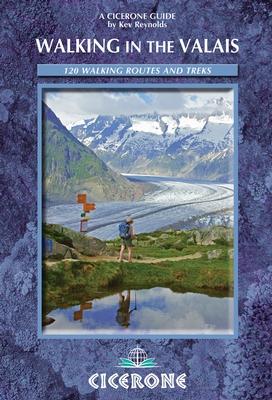
Topoguide de poche (en anglais) de l'éditeur Cicerone avec des fiches détaillées pour randonner dans le Valais.

Description fournie par l'éditeur :
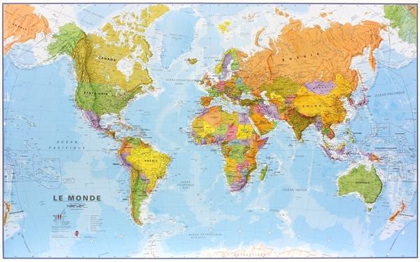
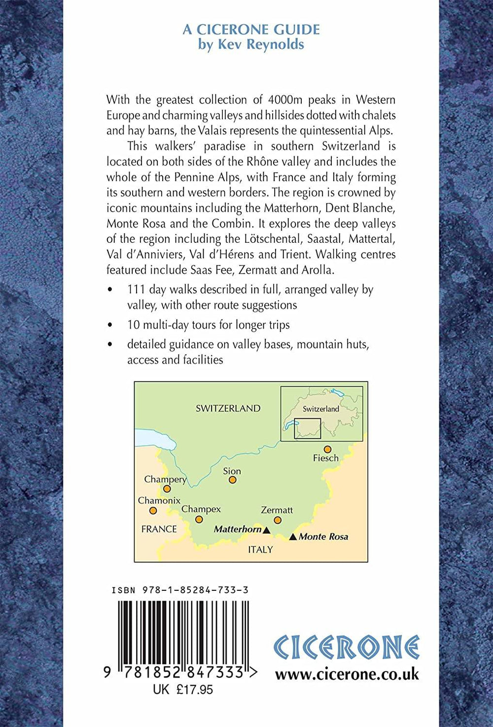
Comprehensive guidebook to the Valais region, describing 111 day walks and 10 multi-day tours. Home to the Matterhorn and Dent Blanche, the routes are in the Fieschertal and the Aletsch glacier region, the Lötschental, Saastal, Mattertal, Turtmanntal, Val d'Anniviers, Val d'Herens, Val de Bagnes, Val Ferret and Vallée du Trient.
Seasons : Valley walks should be possible between late May and late October, but for higher routes, late June until the middle of October would be the best time to go.
Centres : Zermatt, Saas Fee, Grächen, Zinal, Les Haudères, Arolla, Champex, Fiesch, Kippel and Blatten are just a few of the centres used for walking in the Valais.
Difficulty : Walks are graded 1-3 for length and/or difficulty. Grade 1 is suitable for family outings; Grade 2 is moderate walking on good paths, but with the need to be well shod; Grade 3 routes are more strenuous and with some steep ascents and descents with which to contend. No special equipment is required.
Must See : The Matterhorn, Monte Rosa, The Dom, Zinalrothorn, Weisshorn, Ober Gabelhorn, Dent Blanche, Bietschhorn and the Grand Combin form a backdrop to the walks. Also featured, the Grosser Aletschgletscher is the longest icefield in the Alps, while magical valleys like the Lötschental. Saastal, Fieschertal, Val d'Anniviers, Hèrens and Bagnes have a wealth of walks on offer.


ISBN/EAN : 9781852847333
Date de publication : 2014
Dimensions plié(e) : 12 x 17 cm
Langue(s) : anglais
Poids : 384 g

Customer Reviews

No reviews yet
0%
(0)
0%
(0)
0%
(0)
0%
(0)
0%
(0)
Plus de Saas-Fee
Carte de randonnée imperméable n° 3306T - Zermatt | Swisstopo - 1/33 333 carte pliée Swisstopo
Carte de randonnée imperméable n° 3306T - Zermatt, Saas-Fee | Swisstopo - 1/33 333
Swisstopo
14,50 €
Carte topographique n° 2526 - Saas-Fee (Suisse) | Swisstopo - 1/25 000 carte pliée Swisstopo
Carte topographique n° 2526 - Saas-Fee (Suisse) | Swisstopo - 1/25 000
Swisstopo
23,95 €
Carte de randonnée n° 49 - Zermatt, Saas-Fee (Suisse) | Kümmerly & Frey-1/40 000 carte pliée Kümmerly & Frey
Carte de randonnée n° 49 - Zermatt, Saas-Fee (Suisse) | Kümmerly & Frey-1/40 000
Kümmerly & Frey
15,50 €
Épuisé
Carte de randonnée n° 117 - Zermatt, Saas Fee (Suisse) | Kompass carte pliée Kompass
Carte de randonnée n° 117 - Zermatt, Saas Fee (Suisse) | Kompass
Kompass
15,80 €
Carte de randonnée n° WK.24 - Zermatt, Saas Fee (Suisse) | Kümmerly & Frey carte pliée Kümmerly & Frey
Carte de randonnée n° WK.24 - Zermatt, Saas Fee (Suisse) | Kümmerly & Frey
Kümmerly & Frey
17,95 €
Vu récemment