Guide de randonnées (en anglais) - The Brittany coast path : The GR 34 from Mont-Saint-Michel to Roscoff | Cicerone

Guide de randonnées (en anglais) - The Brittany coast path : The GR 34 from Mont-Saint-Michel to Roscoff | Cicerone guide de randonnée Cicerone

Guide de randonnées (en anglais) - The Brittany coast path : The GR 34 from Mont-Saint-Michel to Roscoff | Cicerone

Prix régulier 21,90 €
/
  • Expédition sous 24 h ouvrées depuis notre entrepôt en France
  • Frais de livraison calculés instantanément dans le panier
  • Retours gratuits (*)
  • Stocks en temps réel
  • En stock
  • Inventaire sur le chemin
Taxes incluses.

Souvent achetés ensemble :

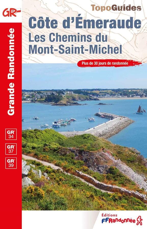
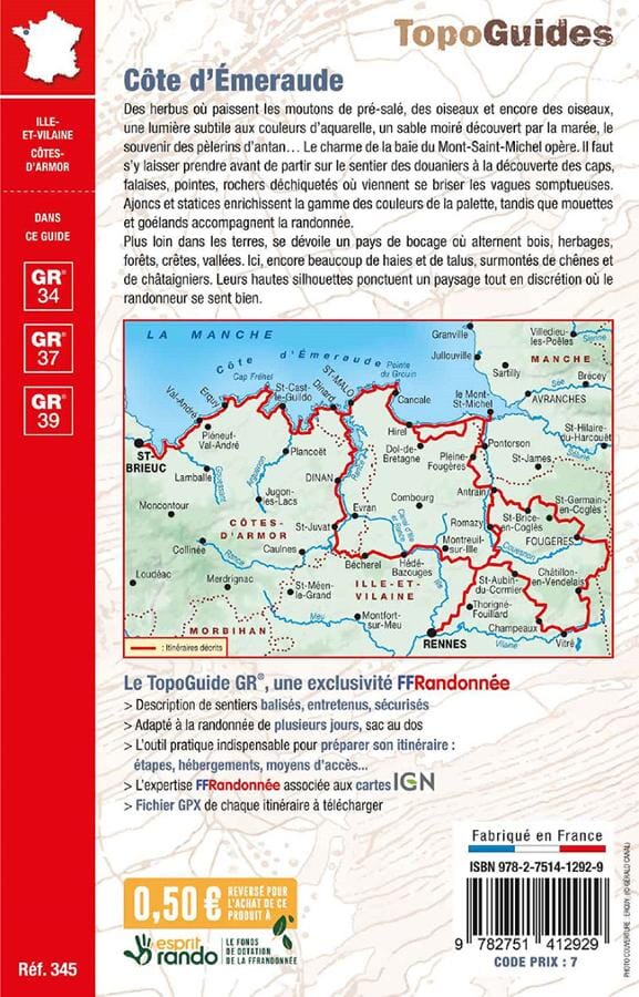
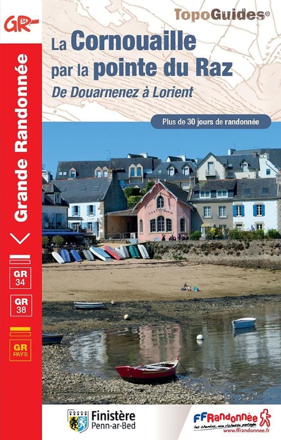
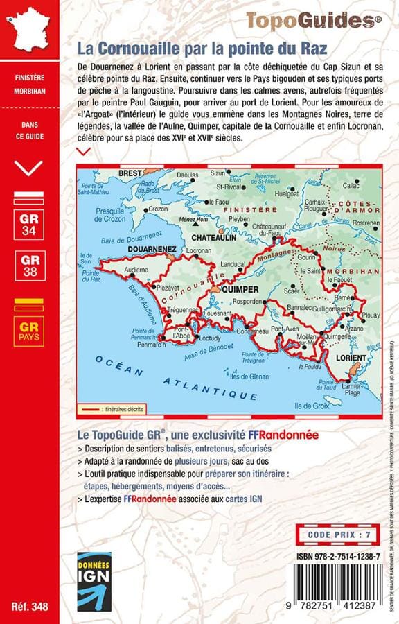
Topoguide (en anglais) de l'éditeur Cicerone avec des fiches détaillées pour randonner en Bretagne sur le GR34.

Description fournie par l'éditeur :

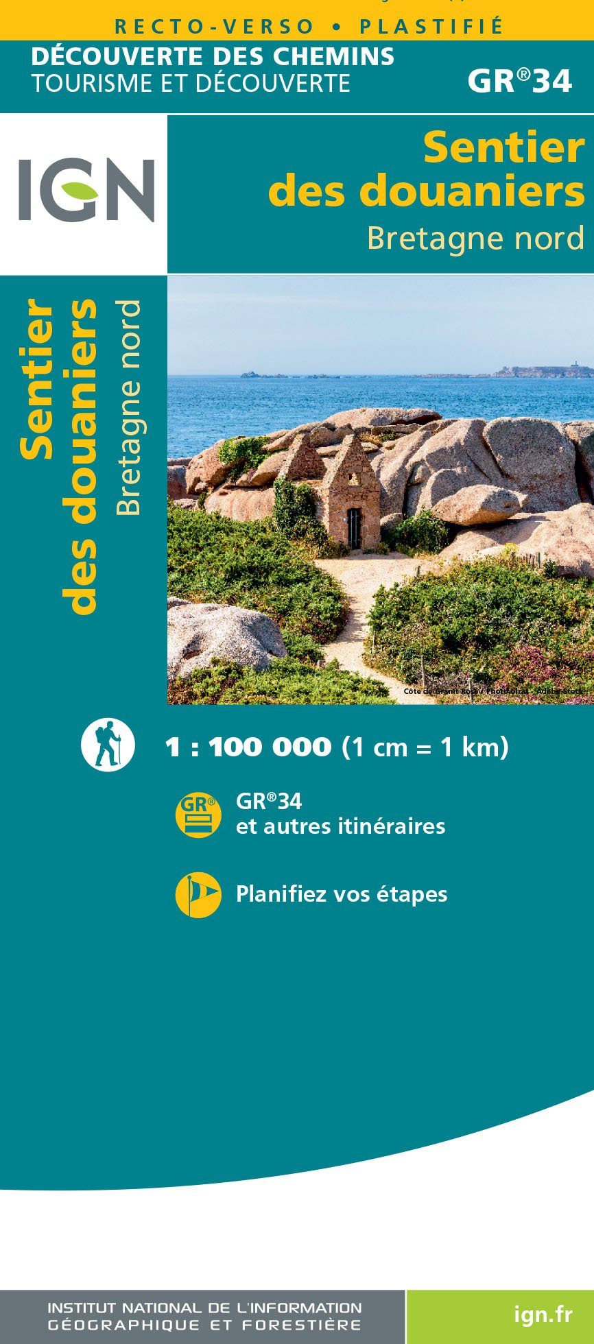
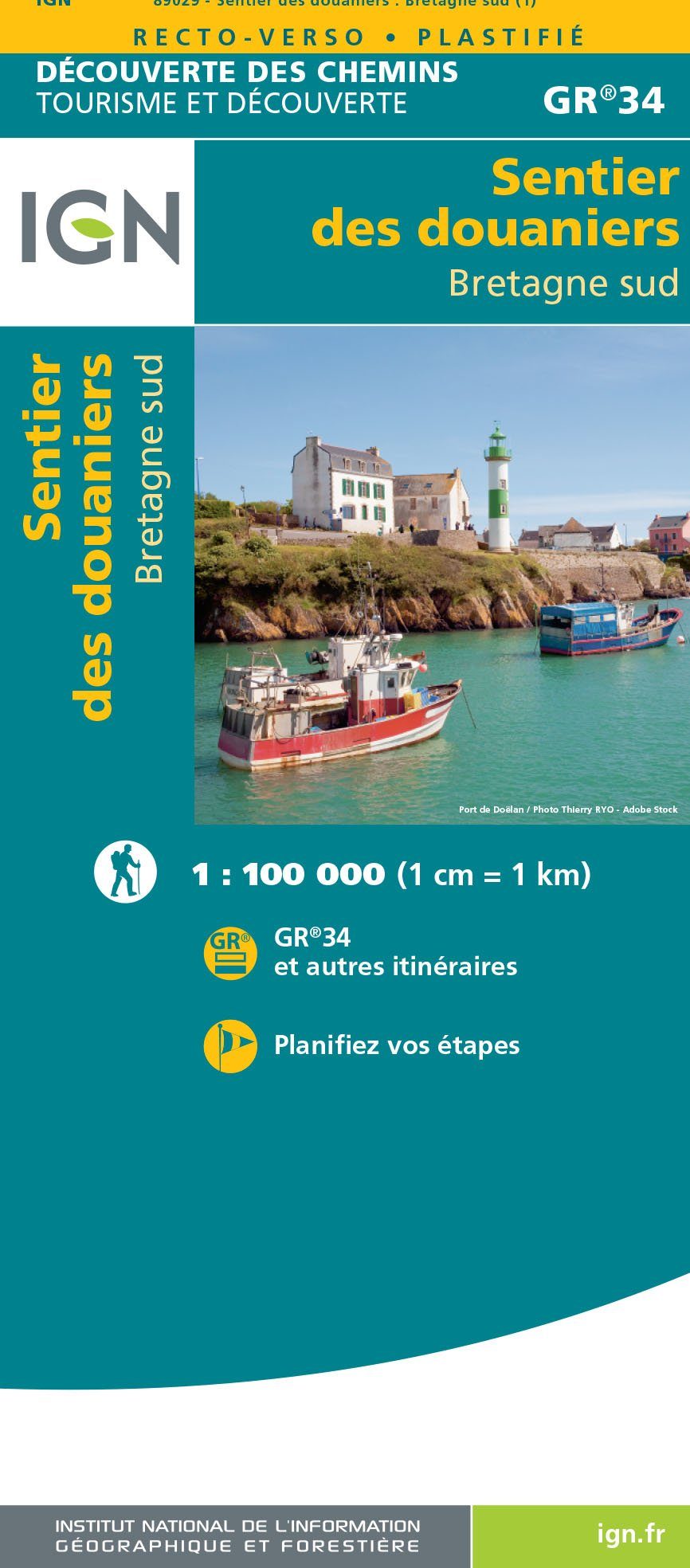
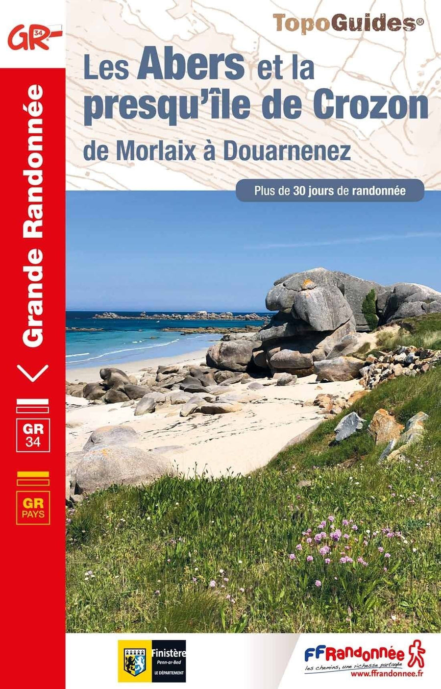
This guide describes a 624km section of French long-distance route the GR34, following the north coast of Brittany from ever-popular Mont-Saint-Michel to the port of Roscoff. (The full GR34 - also known as 'Sentier des Douaniers', the Customs Officers Path - totals some 2000km and follows in the footsteps of customs officers of old who patrolled the coast in attempt to curb smuggling.) The trail is waymarked and well maintained, offering mainly easy walking, though there are a few more strenuous sections and some short steep ascents and descents. It takes around a month to complete but the guide also includes suggestions for four five-day 'highlight' sections.

 The route is described from east to west and presented in 28 stages. For each stage, you will find clear route description and mapping, summary statistics and notes on facilities, accommodation, public transport connections and local points of interest. The introduction offers plenty of practical advice for planning and undertaking your trip, as well as overviews of Brittany's fascinating history and culture.

The GR34 leads you through interesting and varied scenery. There are sea-cliffs and sandy coves, pink granite boulder-fields and unique river estuaries, woodland and heath. Although camping is a possibility, accommodation is readily available in a mixture of bustling seaside resorts and quieter fishing villages. As you hike the trail, you will discover Brittany, a region rich in history and culture and with a distinctive identity that sets it apart from the rest of France, and you will uncover the beauty of this beguiling coastline.


ISBN/EAN : 9781786310613
Date de publication : 2022
Pagination : 216 pages
Dimensions plié(e) : 12 x 17 cm
Langue(s) : anglais
Poids : 161 g

Customer Reviews

No reviews yet
0%
(0)
0%
(0)
0%
(0)
0%
(0)
0%
(0)
Plus de Saint-Malo
Carte TOP 100 n° 115 - Rennes, Saint-Malo & Mont Saint Michel | IGN carte pliée IGN
Carte TOP 100 n° 115 - Rennes, Saint-Malo & Mont Saint Michel | IGN
IGN
8,40 €
Carte TOP 25 n° 1116 ET - Saint-Malo, Dinard, Dinan | IGN carte pliée IGN
Carte TOP 25 n° 1116 ET - Saint-Malo, Dinard, Dinan | IGN
IGN
13,90 €
Carte TOP 75 n° 37 - Saint Malo, Côte d'Emeraude, Mont-St-Michel | IGN carte pliée IGN
Carte TOP 75 n° 37 - Saint Malo, Côte d'Emeraude, Mont-St-Michel | IGN
IGN
9,80 €
Vu récemment