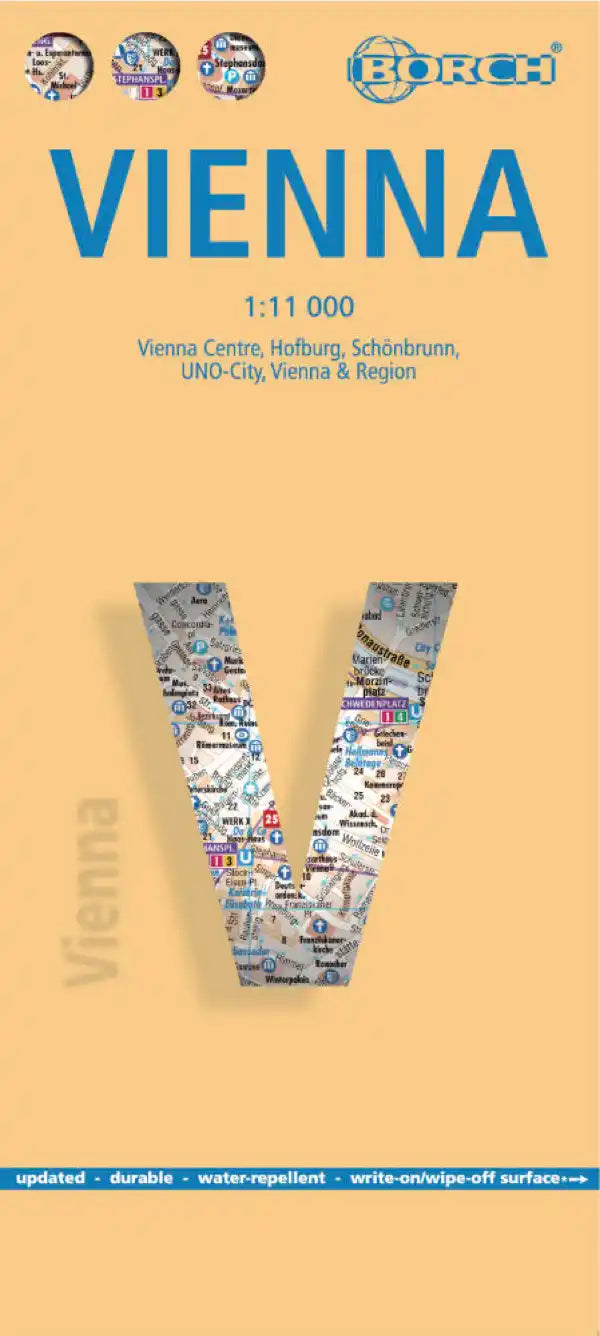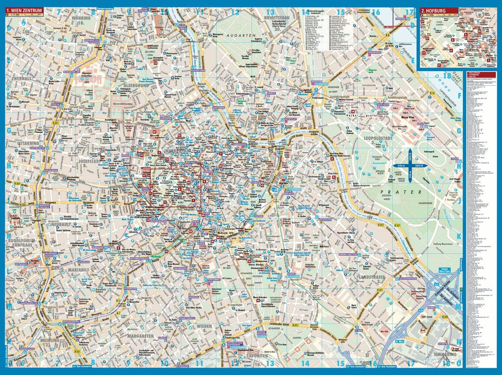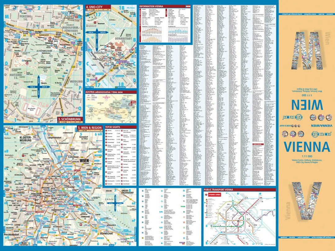
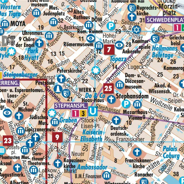


Plan plastifié - Vienne | Borch Map
Prix régulier
8,90 €
Prix régulier
Prix réduit
8,90 €
Écomisez -8,90 €
/
- Expédition sous 24 h ouvrées depuis notre entrepôt en France
- Frais de livraison calculés instantanément dans le panier
- Retours gratuits (*)
- Stocks en temps réel
- En stock
Zones géographiques et catégories liées : Autriche, Vienne (capitale autrichienne)