Atlas routier - Royaume-Uni 2025 | AA Publishing
Prix régulier
23,95 €
Prix régulier
Prix réduit
23,95 €
Écomisez -23,95 €
/
- Expédition sous 24 h ouvrées depuis notre entrepôt en France
- Frais de livraison calculés instantanément dans le panier
- Retours gratuits (*)
- Stocks en temps réel
- En stock
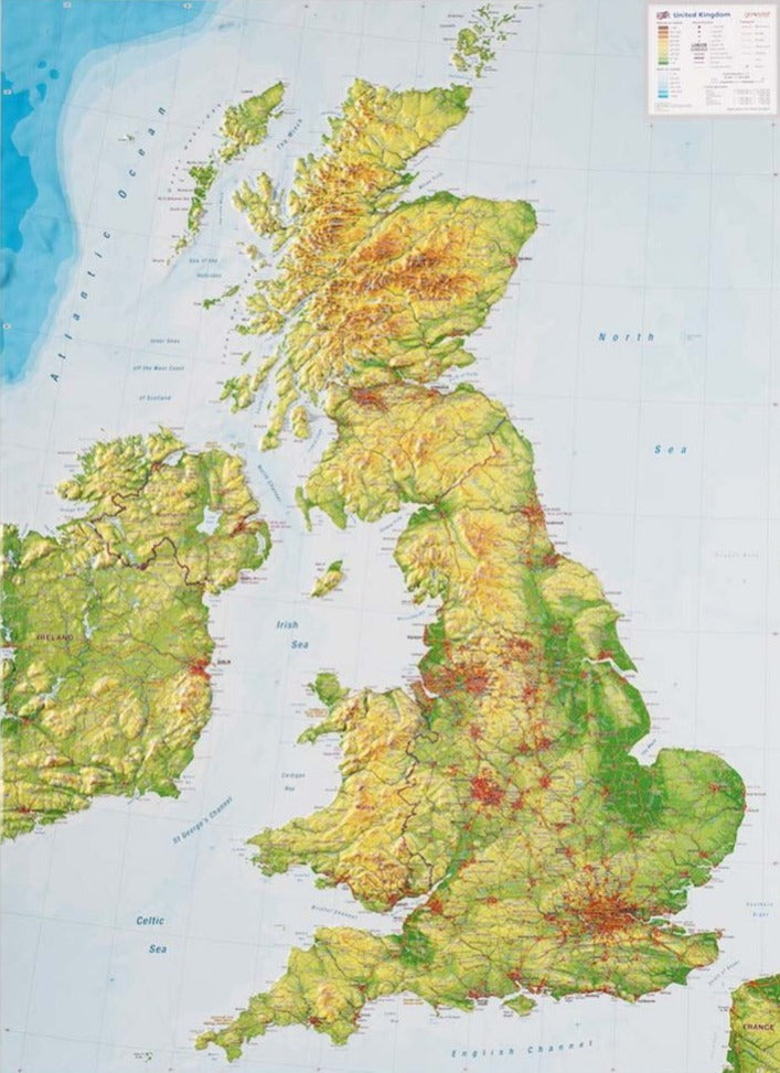
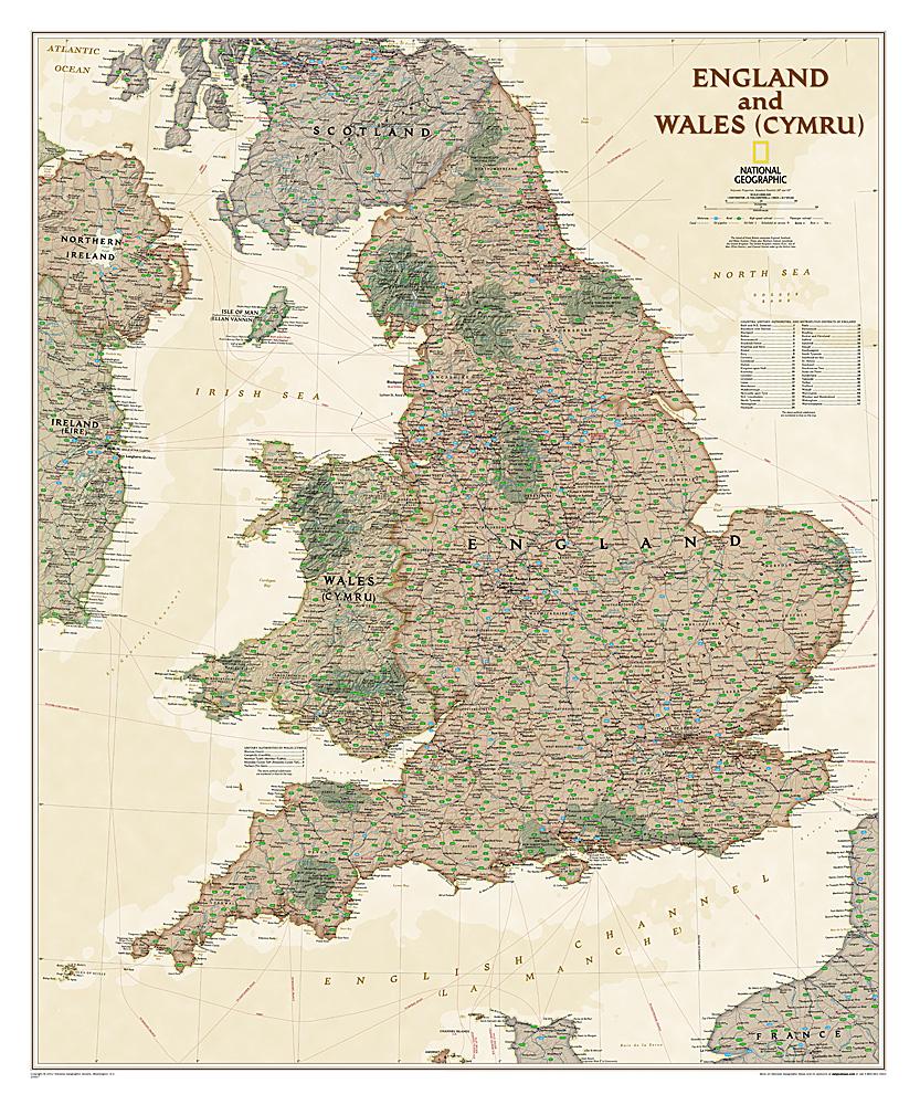
Zones géographiques et catégories liées : Angleterre, Ecosse, Pays de Galles, Royaume-Uni