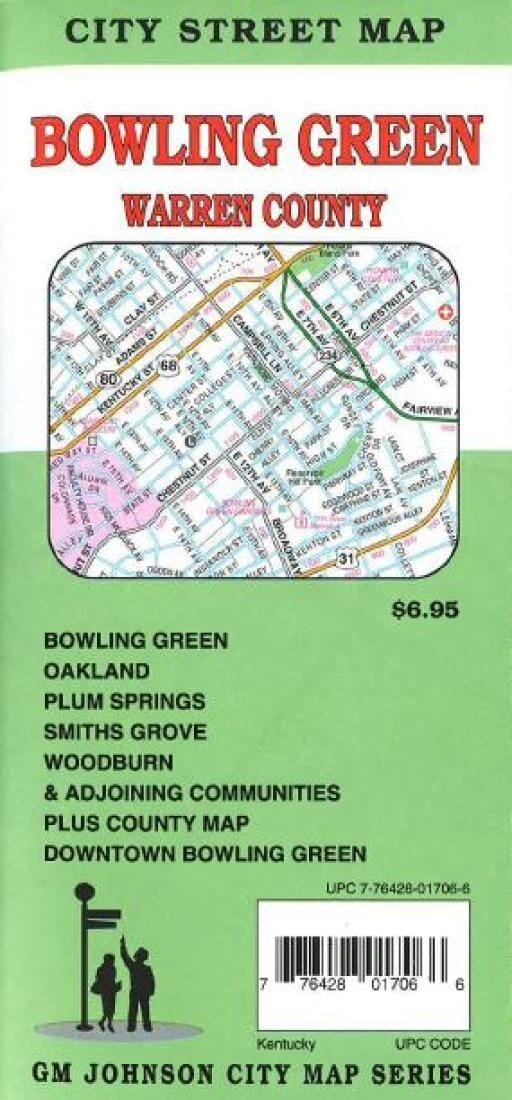
Bowling Green et Warren County - KY | GM Johnson

Bowling Green and Warren County - KY | GM Johnson Road Map

Bowling Green et Warren County - KY | GM Johnson

Prix régulier 8,35 €
/
  • Expédié sous 48h ouvrées depuis notre entrepôt aux USA. Pour ce produit, des frais de douanes peuvent être demandés par le transporteur à la livraison.
  • Frais de livraison calculés instantanément dans le panier
  • Retours gratuits (*)
  • Stocks en temps réel
  • En stock
  • Inventaire sur le chemin
Taxes incluses.

Souvent achetés ensemble :

Carte routière pliée de Bowling Green et du comté de Warren, KY. Comprend des encarts de Plano et Alvaton, Woodburn, Smiths Grove, Oakland et la région d'Edmonton. Comprend un index des rues.


ISBN/EAN : 9781770685840
Date de publication : 2016
Dimensions plié(e) : 9.06 x 4.33 pouces / 23 x 11 cm
Dimensions déplié(e) : 18.9 x 26.18 pouces / 48 x 66.5 cm
Langue(s) : anglais
Poids : 40 g

Customer Reviews

Be the first to write a review
0%
(0)
0%
(0)
0%
(0)
0%
(0)
0%
(0)
Plus de Kentucky
Nouveauté
Puzzle de 1000 pièces - Les whiskies du Kentucky & Tennessee (48 x 68 cm)
Water & Wines
45,00 €
Kentucky : state map : easy to read! | Rand McNally carte pliée
Kentucky : carte d'état : facile à lire ! | Rand McNally
Rand McNally
9,65 €
Jefferson National Forest [Map Pack Bundle] | National Geographic carte pliée
Forêt nationale de Jefferson [Pack de cartes] | National Geographic
National Geographic
71,95 €
George Washington National Forest [Map Pack Bundle] | National Geographic carte pliée
George Washington National Forest [Pack de cartes] | National Geographic
National Geographic
59,95 €
Scenic road trips of IL, IN, Western KY & western TN | MAD Maps carte pliée
Excursions routières panoramiques en IL, IN, KY occidental et TN occidental | MAD Maps
MAD Maps
17,95 €
Vu récemment