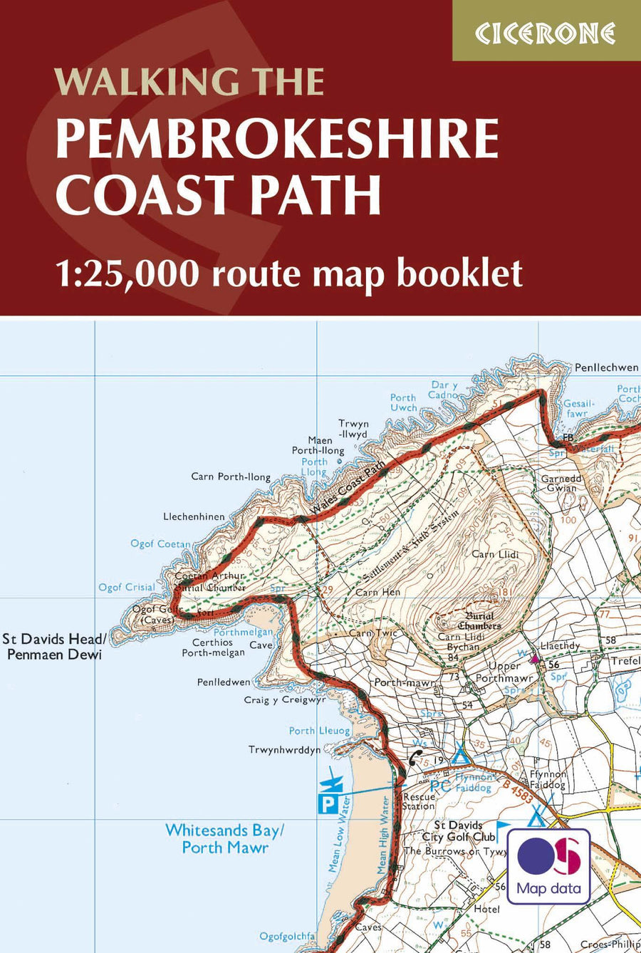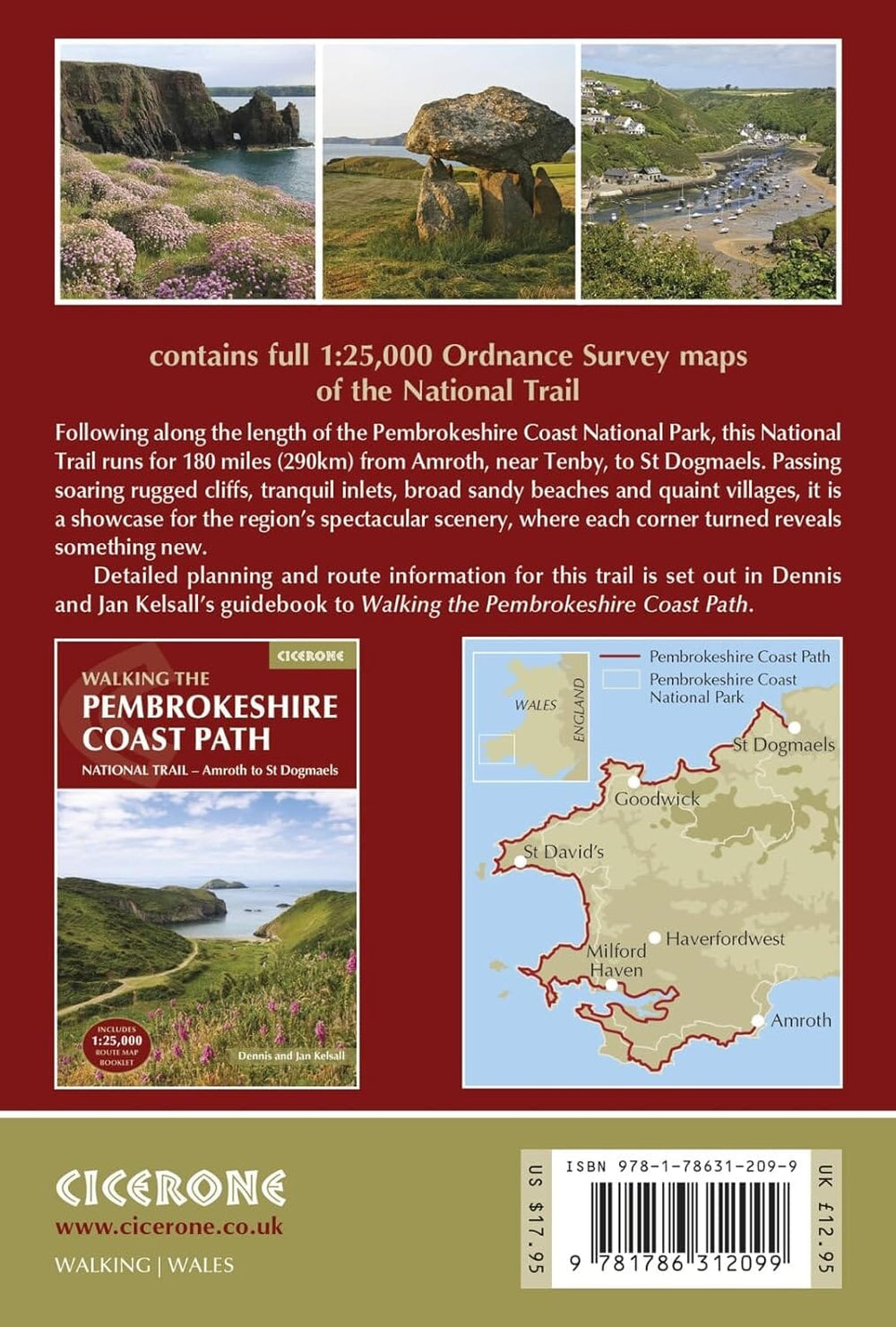


Carte de randonnée - Wales Coast Path 2 : Caernarfon to Cardigan Including Llyn Peninsula - XT40 | Harvey Maps - National Trail maps
Prix régulier
26,40 €
Prix régulier
Prix réduit
26,40 €
Écomisez -26,40 €
/
- Expédition sous 24 h ouvrées depuis notre entrepôt en France
- Frais de livraison calculés instantanément dans le panier
- Retours gratuits (*)
- Stocks en temps réel
- En stock
Zones géographiques et catégories liées : Randonner au Pays de Galles, Randonner en Grande-Bretagne