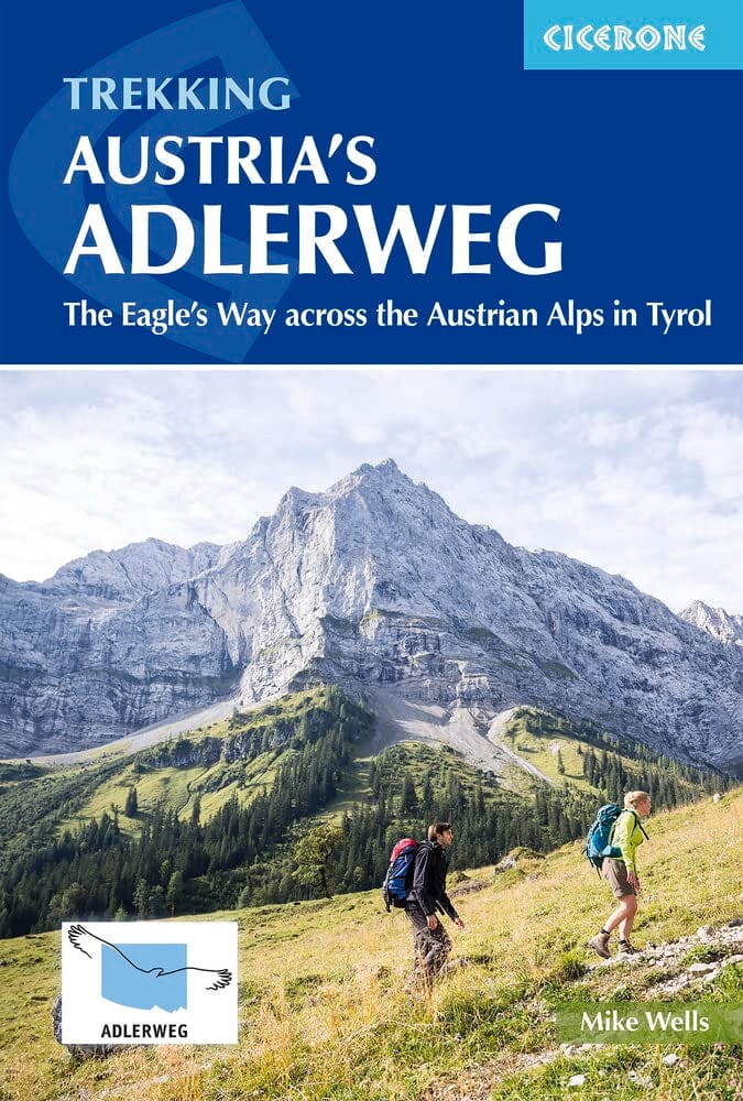
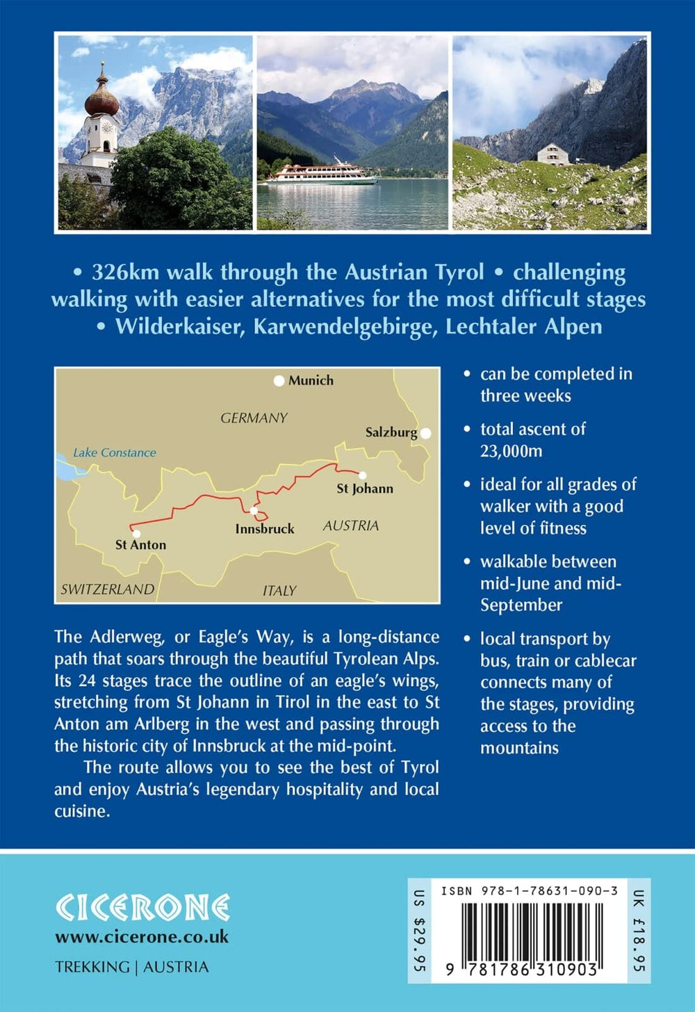
Guide de randonnées (en anglais) - Trekking Austria's Adlerweg : The Eagle's Way Across the Austrian Alps in Tyrol | Cicerone
Prix régulier
24,40 €
Prix régulier
Prix réduit
24,40 €
Écomisez -24,40 €
/
- Expédition sous 24 h ouvrées depuis notre entrepôt en France
- Frais de livraison calculés instantanément dans le panier
- Retours gratuits (*)
- Stocks en temps réel
- En stock
Zones géographiques et catégories liées : Alpes autrichiennes, Tyrol, Voyage - Tous les guides touristiques et guides pratiques