Guide de randonnées (en anglais) - Walking in the Engadine (Suisse) | Cicerone

Guide de randonnées (en anglais) - Walking in the Engadine (Suisse) | Cicerone guide de randonnée Cicerone

Guide de randonnées (en anglais) - Walking in the Engadine (Suisse) | Cicerone

Prix régulier 21,90 €
/
  • Expédition sous 24 h ouvrées depuis notre entrepôt en France
  • Frais de livraison calculés instantanément dans le panier
  • Retours gratuits (*)
  • Stocks en temps réel
  • En stock
  • Inventaire sur le chemin
Taxes incluses.

Souvent achetés ensemble :

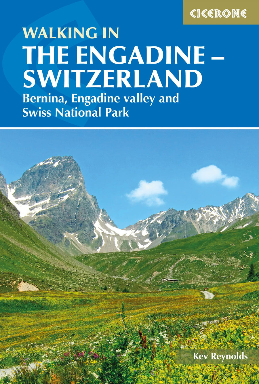
Topoguide (en anglais) de l'éditeur Cicerone qui propose des randos dans l'Engadine (Alpes Suisses).


Description fournie par l'éditeur :

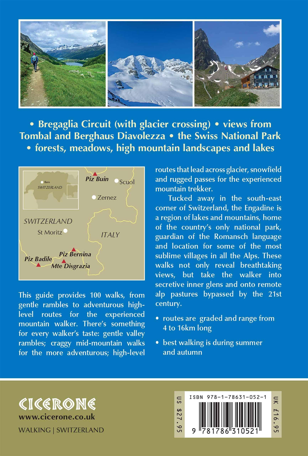
Walking in the Engadine contains detailed route descriptions for 100 day walk routes that vary from 4 to 16km long in length. The routes cover a variety of terrain from luscious meadows and craggy mountains to glaciers and snowpeaks.

Most of the walks described in this guidebook have been chosen with a particular viewpoint, lake, alp hamlet, hut or pass as the destination, while the principal objective of each walk is to enjoy a day's exercise among stimulating scenery. There's something for every walker's taste: gentle valley rambles for a family outing; craggy mid-mountain walks for the more adventurous; high-level routes that lead across glacier, snowfield and rugged passes for the experienced mountain trekker.

Tucked away in the south-east corner of Switzerland, the Engadine is a region of lakes and mountains, home of the country's only national park, guardian of the Romansch language and location for some of the most sublime villages in all the Alps.


ISBN/EAN : 9781786310521
Date de publication : 2019
Pagination : 312 pages
Dimensions plié(e) : 12 x 17 cm
Langue(s) : anglais
Poids : 330 g

Customer Reviews

No reviews yet
0%
(0)
0%
(0)
0%
(0)
0%
(0)
0%
(0)
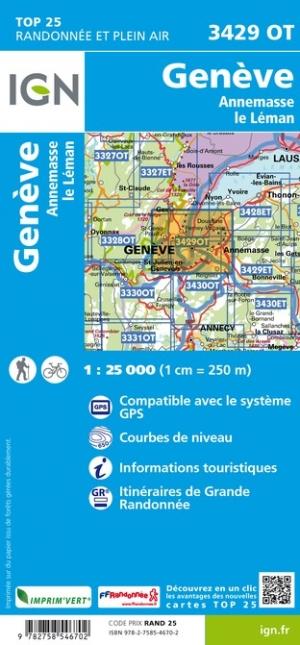
Carte TOP 25 n° 3429 OT - Genève, Anemasse & lac Léman (Alpes) | IGN carte pliée IGN
Carte TOP 25 n° 3429 OT - Genève, Anemasse & lac Léman (Alpes) | IGN
IGN
13,90 €
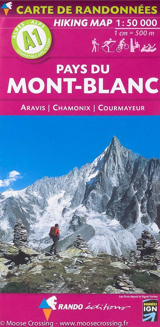
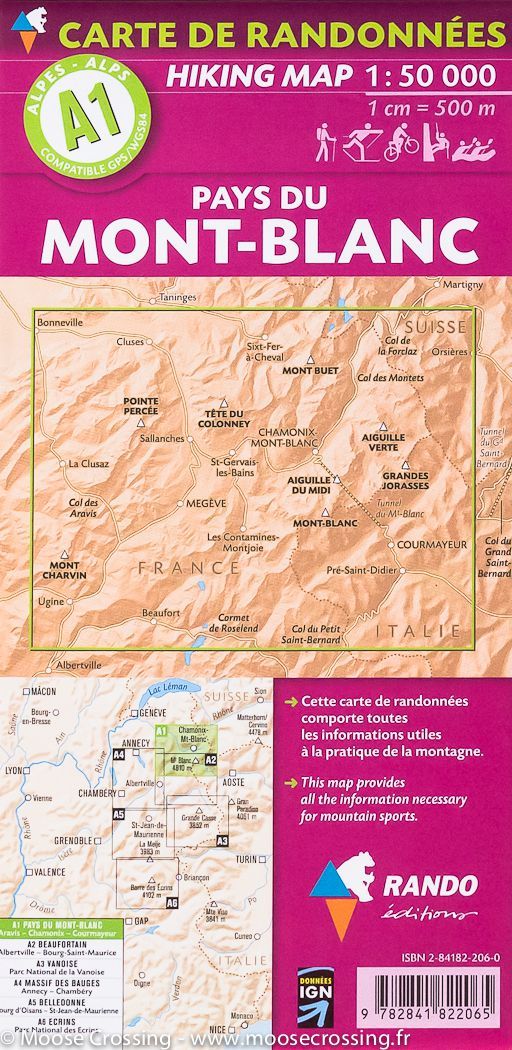
Carte de randonnée du Mont Blanc, A1 | Rando éditions - La Compagnie des Cartes
Carte de randonnée n° A1 - Mont Blanc | Rando éditions
Rando Editions
14,45 €
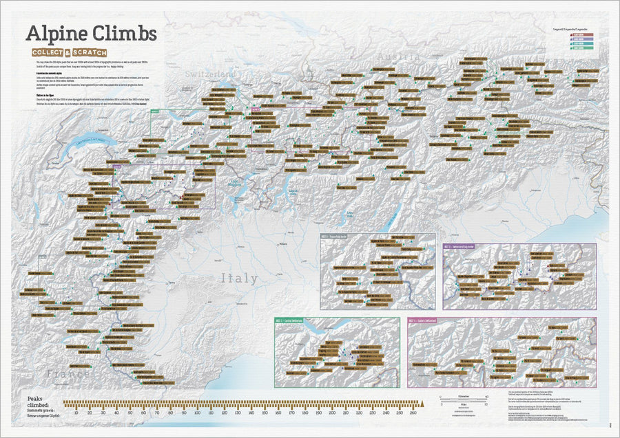
Carte des sommets alpins (avant grattage)
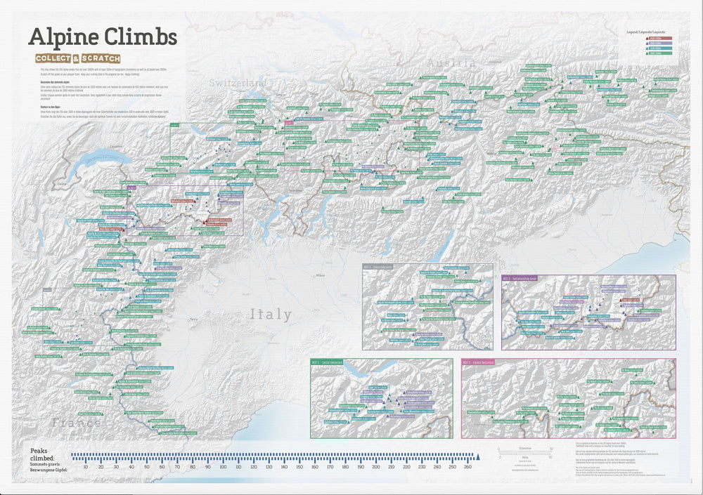
Carte des sommets alpins (après grattage complet)
Carte murale à gratter (en anglais) - Sommets des Alpes - 84 x 60 cm | Maps International
Maps International
26,90 €
Vu récemment