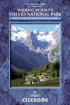
Topoguide de poche (en anglais) de l'éditeur Cicerone avec des fiches détaillées pour randonner dans le parc national de Stelvio en Italie.
Description fournie par l'éditeur :
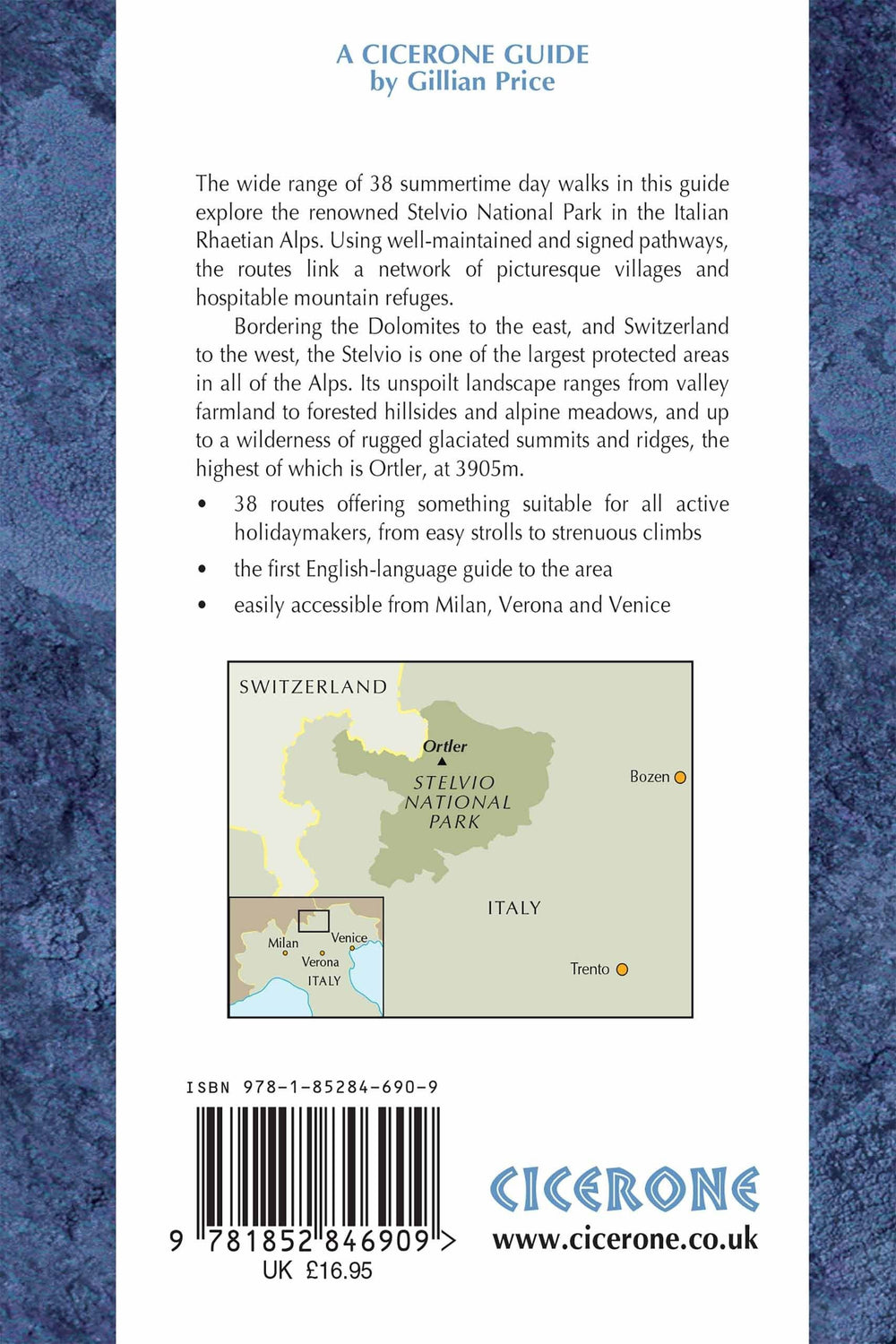
Guidebook to the Stelvio National Park in the Italian Rhaetian Alps. The 38 day walks and hikes described offer a wide variety of routes on well-maintained and signposted paths, linking a network of picturesque villages and hospitable mountain refuges. The Stelvio National Park borders the Dolomites to the east and Switzerland to the west.
Seasons : Late June through to OctoberCentres CentresBormio, S Caterina Valfurva, Sulden, Martell, St Gertraud, Peio, Rabbi, Malè.
Difficulty : Single day walking routes graded 1 to 3 to allow for beginners as well as experienced walkers ready for peaks. Walks easily extended into multi-day expereinces with overnight stays in alpine refuges.
Must See : The thrilling Stelvio Pass on foot or by bus, the Forno glacier, the Ortler and Cevedale mountains, ibex and chamois in Val Zebrù, Martelltal and Valle di Rabbi, lammergeiers and eagles, traditional Ultental.
ISBN/EAN : 9781852846909
Date de publication : 2013
Dimensions plié(e) : 12 x 17 cm
Langue(s) : anglais
Poids :
221 g


