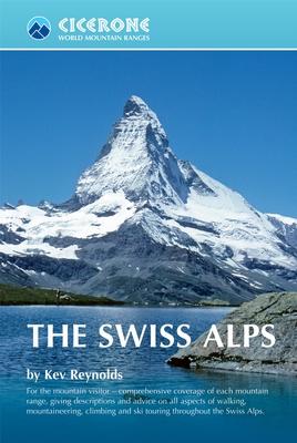
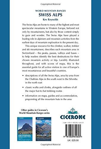
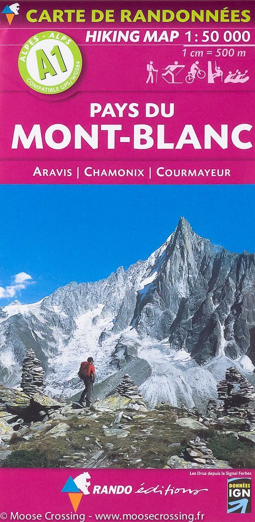
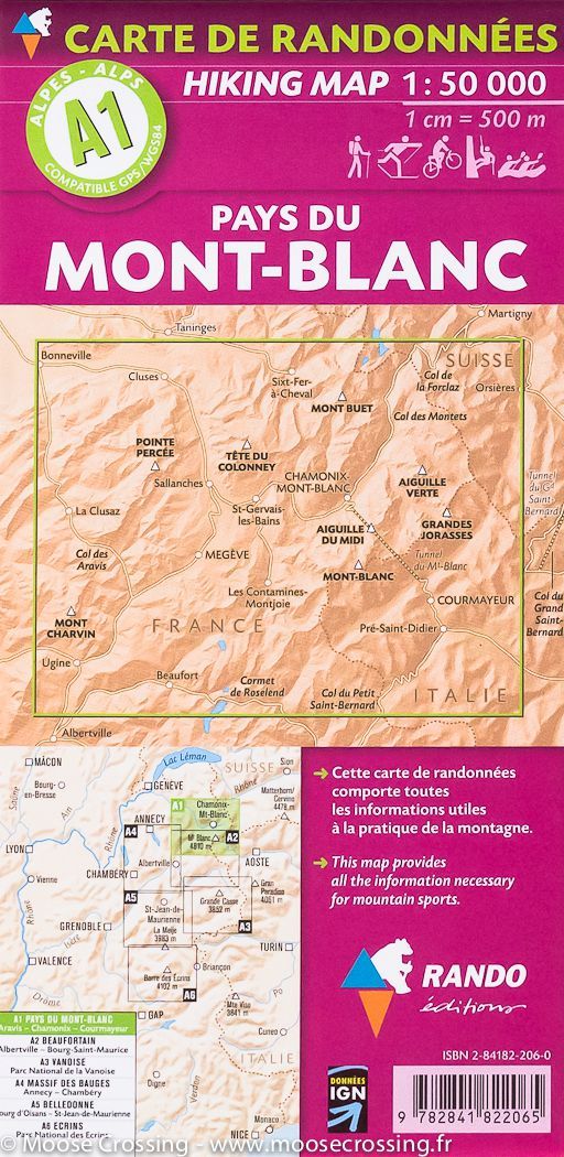
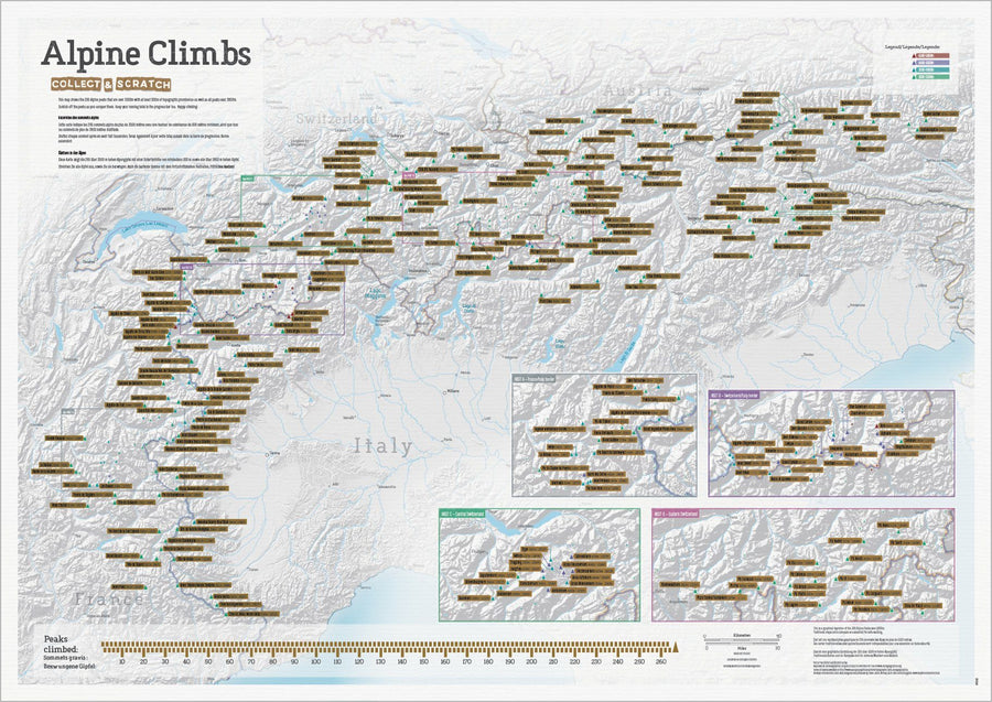
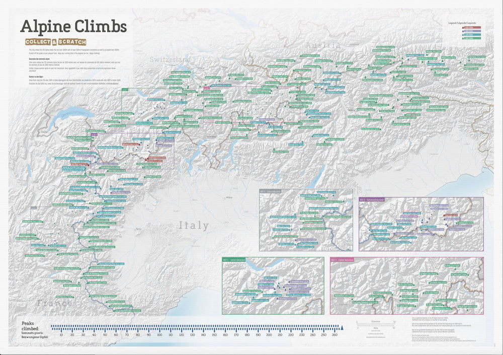
Guide de randonnées (en anglais) - The Swiss Alps | Cicerone
Prix régulier
31,90 €
Prix régulier
Prix réduit
31,90 €
Écomisez -31,90 €
/
- Expédition sous 24 h ouvrées depuis notre entrepôt en France
- Frais de livraison calculés instantanément dans le panier
- Retours gratuits (*)
- Stocks en temps réel
- 1 en stock
Zones géographiques et catégories liées : Alpes suisses, Alpes suisses - Guides de randonnée, Meiringen, Mont Cervin / Matterhorn, Mont Rose / Monte Rosa, Randonner en Suisse, Voyage - Tous les guides touristiques et guides pratiques