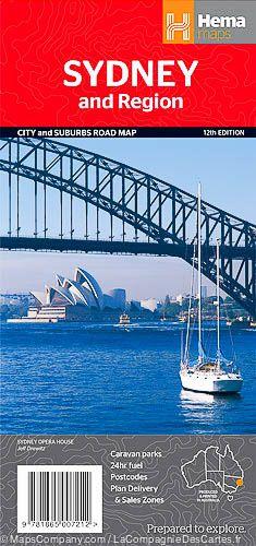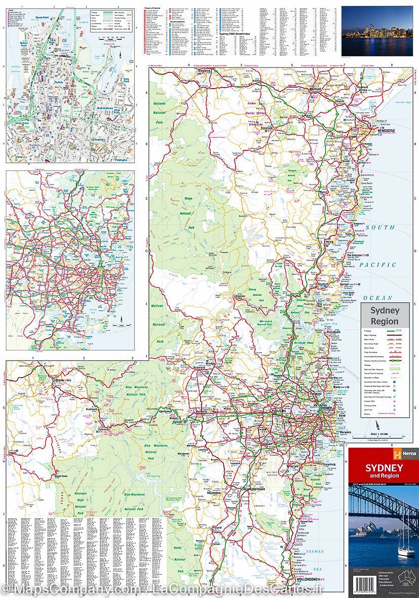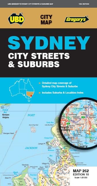
Plan de ville - Sydney City Streets & Suburbs, n° 262 | UBD Gregory's
Prix régulier
12,50 €
Prix régulier
Prix réduit
12,50 €
Écomisez -12,50 €
/
- Expédition sous 24 h ouvrées depuis notre entrepôt en France
- Frais de livraison calculés instantanément dans le panier
- Retours gratuits (*)
- Stocks en temps réel
- En stock
Zones géographiques et catégories liées : Nouvelle-Galles du Sud, Sydney