Description originale de l'éditeur :
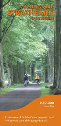
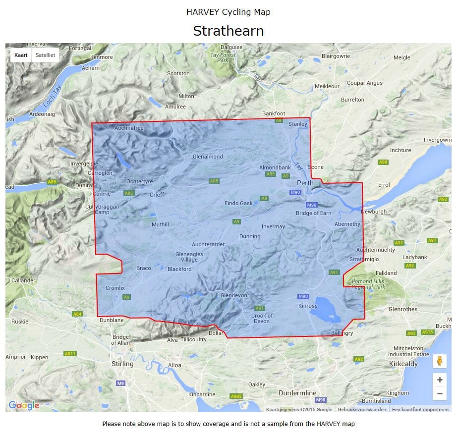
Shows the network of minor roads and includes 8 suggested cycle routes.
Steep hills are marked; also the location of cycle shops and cycle hire.
Shows the general topography including layer-coloured high ground, forest, rivers, lochs settlement.
General information includes location and phone numbers for the Tourist Information Centres. Points of interest, services and facilities, toilets etc. are marked.
Printed on waterproof paper and supplied in a protective plastic pocket.
ISBN/EAN : 9781851374038
Date de publication : 2007
Echelle : 1 / 80 000 (1 cm = 800 m)
Dimensions plié(e) : 12,8 x 24,5 cm
Langue(s) : anglais
Poids :
82 g


