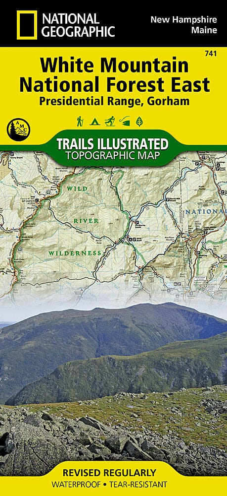
Carte des sentiers de la forêt nationale des White Mountains, Presidential Range et Gorham (Maine, New Hampshire), # 741 | National Geographic carte pliée National Geographic

Carte de randonnée n° 741 - Forêt nationale des White Mountains, Presidential Range et Gorham (Maine, New Hampshire) | National Geographic

Prix
Prix régulier 17,95 €
Prix régulier Prix réduit 17,95 €
Écomisez -17,95 €
/
  • Expédition sous 48h ouvrées depuis notre entrepôt aux USA. Pour ce produit, des frais de douanes peuvent être demandés par le transporteur à la livraison.
  • Frais de livraison calculés instantanément dans le panier
  • Retours gratuits (*)
  • Stocks en temps réel
  • En stock
  • En rupture de stock, expédition prochainement
Taxes incluses.

Souvent achetés ensemble :

Carte de randonnée topographique imperméable et indéchirable de l'est de la White Mountain Nat'l Forest.
La zone couverte comprend : White Mountain National Forest, Mt Washington, Tuckerman Ravine et Pinkham Notch, Dry River, Presidential Range ; Great Gulf, et Caribou-Speckled Mountain Wilderness Areas. Appalachian National Scenic Trail : Crawford Notch State Park à Grafton Notch State Park, Maine. Parcs d'État de Moose Brook et Milan Hill. Berlin, Gorham, Jackson et North Chatham. Comprend des grilles UTM pour une utilisation avec votre appareil GPS et une matrice de kilométrage de sentier.

.

Échelle de la carte = 1:70 000

.


ISBN/EAN : 9781566954181
Date de publication : 2020
Dimensions plié(e) : 9.45 pouces x 4.33 pouces (24 x 11 cm)
Dimensions déplié(e) : 24.8 pouces x 37.01 pouces (63 x 94 cm)
Langue(s) : anglais
Poids : 100 g

Customer Reviews

Based on 1 review
100%
(1)
0%
(0)
0%
(0)
0%
(0)
0%
(0)
D
Dave B.
Love the map, easy to use and fold ...

Love the map, easy to use and fold up. Overall would highly recommend